
Length 110.6 km | ||
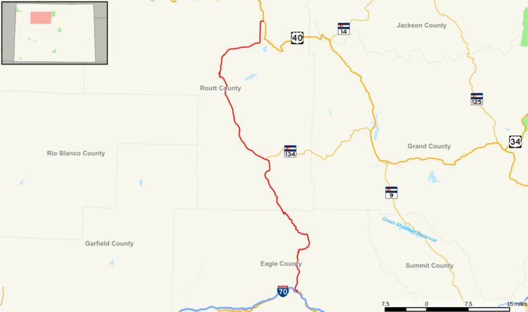 | ||
North end: US 40 near Steamboat Springs | ||
State Highway 131 is a north–south state highway that connects U.S. Highway 40 4 miles (6.4 km) east of Steamboat Springs to the north with Interstate 70 at Wolcott to the south. It is 68.7 mi (110.6 km) in length, and travels through the towns of State Bridge, Bond, McCoy, Toponas, Yampa, and Oak Creek.
Contents
Map of CO-131, Colorado, USA
History
The route was established in the 1920s, when it connected State Bridge to its current terminus at US 40. The route was then paved from its north end to Yampa by 1946. SH 11 (now moved) was deleted by 1954, giving the section from Wolcott to State Bridge to SH 131. The entire route was paved by 1970. SH 131 was then extended to I-70 in 1972.
References
Colorado State Highway 131 Wikipedia(Text) CC BY-SA