
County Eagle GNIS feature ID 0175753 Elevation 2,044 m Zip code 80463 Local time Thursday 8:32 AM | Time zone MST (UTC-7) FIPS code 08-47345 Area 77 ha Population 24 (2010) | |
 | ||
Weather 0°C, Wind S at 6 km/h, 71% Humidity | ||
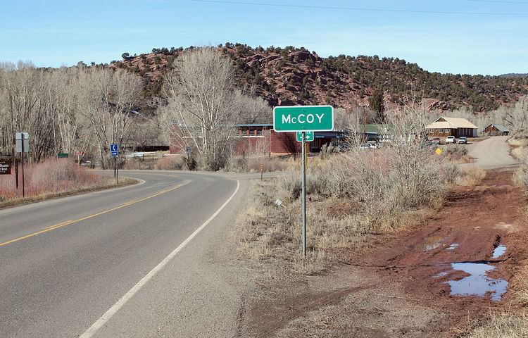
McCoy is a census-designated place (CDP) and a U.S. Post Office in Eagle County, Colorado, United States. The population as of the 2010 census was 24. The McCoy Post Office has the ZIP code 80463.
Contents
Map of McCoy, CO, USA
A post office called McCoy has been in operation since 1891. The community was named after Charles H. McCoy, a cattleman.
Geography
McCoy is located along the northern border of Eagle County at 39°54′58″N 106°43′31″W (39.916056,-106.725140), in the valley of Rock Creek, less than one mile north of its mouth at the Colorado River. Colorado State Highway 131 passes through the community, leading south 20 miles (32 km) to Interstate 70 at Wolcott and north 52 miles (84 km) to Steamboat Springs.
References
McCoy, Colorado Wikipedia(Text) CC BY-SA