
ZIP code 80479 Elevation 2,525 m | Time zone MST (UTC-7) GNIS feature ID 0173099 Local time Sunday 11:17 PM | |
 | ||
Weather -1°C, Wind NW at 13 km/h, 89% Humidity | ||
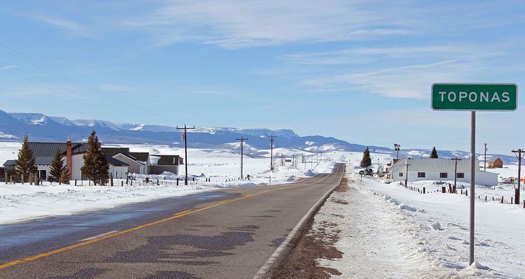
Toponas is an unincorporated community with a U.S. Post Office in Routt County, Colorado, United States. The Toponas Post Office has the ZIP Code 80479.
Contents
Map of Toponas, CO 80479, USA
A post office called Toponas has been in operation since 1888. The community took its name from nearby Toponas Rock.
Geography
Toponas is located at 40°03′28″N 106°48′05″W (40.057841,-106.801357). Despite the small size of the town, this is a strategic location, lying in a broad mountain pass on the divide between the Yampa River to the north and the Colorado River to the south. As a result, the town is traversed by not only State Highway 131, but also the former Craig branch of the Denver and Rio Grande Western Railroad. Toponas also lies at the west end of State Highway 134 and thus at the bottom of the climb to Gore Pass, on one of the two highway routes between the Yampa Valley and Middle Park.