
Length 115.8 km | ||
 | ||
Counties Huerfano County, Colorado, Las Animas County, Colorado, Pueblo County, Colorado, Otero County, Colorado | ||
State Highway 10 in the U.S. state of Colorado is a route through the southeast region of the state, connecting Walsenburg, Colorado with La Junta, Colorado.
Contents
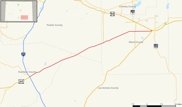
Map of CO-10, Colorado, USA
History
The route was established in the 1920s, when it began at the Utah state line near Dove Creek and went east to Walsenburg on today's Interstate 25. By 1936, a section was added pushing SH 10's terminus east to La Junta. By 1938, the route was corrected in a more straight line and most of the route was paved. The entire route was paved by 1960. The entire section from the Utah border to Walsenburg, the original alignment of the route, was relinquished in 1968.
References
Colorado State Highway 10 Wikipedia(Text) CC BY-SA