
Elevation 2,371 m Province Province of Biella | Prominence 250 m Mountain range Biellese Alps | |
 | ||
Similar Punta Tre Vescovi, Monte Mucrone, Monte Mars, Monte Barone, Dog Mountain | ||
Colma di Mombarone (or simply Mombarone) is a mountain of the Biellese Alps, a sub-range of Pennine Alps, in northern Italy. It visually marks, along with Monte Gregorio on the opposite side, the entrance of Aosta Valley from the Po plain. On its top in 1900 was built a huge statue, still located there, of Jesus Christ.
Contents
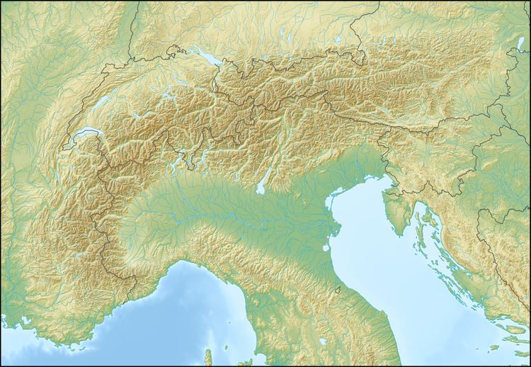
- Map of Colma di Mombarone 13895 Graglia Province of Biella Italy
- Etymology
- Geography
- SOIUSA classification
- Access to the summit
- Maps
- References
Map of Colma di Mombarone, 13895 Graglia, Province of Biella, Italy
Etymology
The name comes from Piedmontese language: Colma is a term used in the northern Piedmont and referring to a pass or a high place, while Mombarone is the italianisation of the piedmontese Monbaron, where mon is for mount and baron means heap or pile.
Geography
The mountain is located between Dora Baltea and Cervo valleys, on the border between Province of Turin and province of Biella, both in Piemonte region. Administratively it is divided between the comunes of Settimo Vittone (in the province of Turin), Donato and Graglia (both in the province of Biella).
SOIUSA classification
According to the SOIUSA (International Standardized Mountain Subdivision of the Alps) the mountain can be classified in the following way:
Access to the summit
The easiest routes for the summit are two long but well marked footpaths, one starting from San Giacomo di Andrate (TO) and another from San Carlo di Graglia (BI); both of them converge on the southern ridge of the mountain. Nearby the mountain's top, at 2,312 m, is located Rifugio Mombarone, a permanent mountain hut.