Traversed by D16 Elevation 1,467 m | ||
 | ||
Similar Aravis Range, Alps, Col des Aravis, Col de la Colombière, Col de la Madeleine | ||
Col de la croix fry descent by road bike
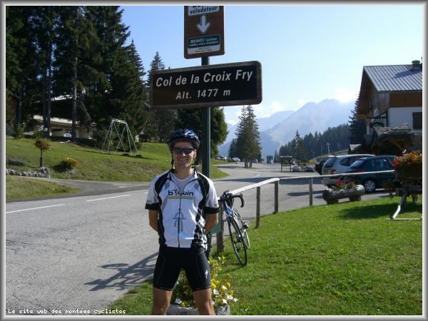
The Col de la Croix Fry (1,467 m (4,813 ft)) is a mountain pass located in the Chaîne des Aravis, between Manigod and La Clusaz in the Haute-Savoie department of France. The road over the col is used occasionally by the Tour de France cycle race with the tour crossing the pass on Stage 19 of the 2013 Tour. At the summit is the village of La Croix Fry.
Contents
- Col de la croix fry descent by road bike
- Map of Col de la Croix Fry 74230 Manigod France
- Climbing the col de la croix fry from th nes
- Details of the climb
- Tour de France
- References
Map of Col de la Croix Fry, 74230 Manigod, France
Climbing the col de la croix fry from th nes
Details of the climb
From the west, the climb starts at Thônes, from where the summit is 12.8 km (8.0 mi). Over this distance, the road climbs 842 m (2,762 ft) at an average gradient of 6.6%. En route, the climb passes through the village of Manigod. This is the climb used on the 2013 Tour de France, although the race turns onto the climb shortly before reaching Thônes, thus shortening the climb to 11.3 km (7.0 mi) at 7%; the climb is ranked category 1.
The climb from the east starts at Saint-Jean-de-Sixt, passing through La Clusaz. The total distance is 10.3 km (6.4 mi), with a climb of 507 m (1,663 ft) at an average of 4.9%.
Tour de France
The Col de la Croix Fry was first used in the Tour de France cycle race in 1994 when the leader over the summit was Piotr Ugrumov. Since then, the pass has been crossed three more times, including on Stage 19 of the 2013 Tour.
