
Population (2014) 1,007 | Area 44.12 km² | |
 | ||
Intercommunality Communauté de communes des Vallées de Thônes | ||
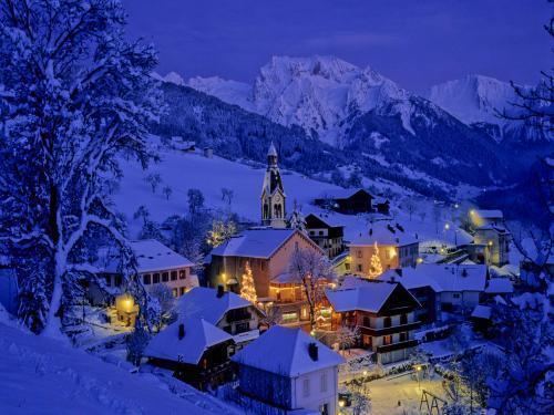
Manigod is a commune in the Haute-Savoie department and Auvergne-Rhône-Alpes region of eastern France.
Contents
Map of 74230 Manigod, France
The area
The linked area of Manigod consists of several different ski areas: La Croix Fry, Merdassier, and Manigod Village, among others.
Village
The village itself is small and traditional with very few shops, all selling local produce such as the locally made Reblochon.
Plateau de Beaugarde
Famous local walk with a view of Mont Blanc.
Geography
The River Fier has its source in the commune.
Nearby
Nearby villages include Thônes, La Clusaz, Saint-Jean-de-Sixt, and Le Grand Bornand. Further away are the larger towns of Annecy and Chamonix.
References
Manigod Wikipedia(Text) CC BY-SA