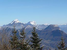
Peak Haute Cime Mountains Salève | Elevation 10,686 ft (3,257 m) Highest point Salève | |
 | ||
Similar Alps, Mont Aiguille, Vercors Massif, Drôme, Bauges | ||
5 minute guided meditation french prealps waterfall
The French Prealps (Préalpes) are a group of subalpine mountain ranges of medium elevation located immediately west of the French Alps. They roughly stretch from Lake Geneva southwest to the Isère and Drôme Rivers; east to a line running from Chamonix, to Albertville, to Grenoble, to Gap, to Barcelonette; and south from Grasse to Vence in France.
Contents
- 5 minute guided meditation french prealps waterfall
- Map of French Prealps 04270 Saint Jeannet France
- Flight above the french prealps 2
- Ranges and peaks
- References
Map of French Prealps, 04270 Saint-Jeannet, France
In the northern subalpine regions, the various ranges are easily identifiable by geographical separations, such as the Voreppe Gorge between Vercors and Chartreuse, or Chambéry, which sits in a valley between the Bauges and Chartreuse ranges. In the southern subalpine regions, the ranges are generally disorganized and lack the wide, deep valleys that divide them in the north.
Three non-contiguous ranges traditionally comprise the southern French Prealps: the Alpilles, Mont Sainte-Victoire, and Sainte-Baume.
Flight above the french prealps 2
Ranges and peaks
Among the best known peaks in the French Prealps are:
