
Traversed by D225 | Elevation 1,580 m | |
 | ||
Location Hautes Pyrenees, France Similar Col de Peyresourde, Col d'Aspin, Val‑Louron, Port de Balès, Col du Portillon | ||
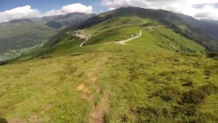
The Col de Val Louron-Azet (or Col d'Azet) (elevation 1,580 m (5,180 ft)) is a mountain pass in the French Pyrenees in the department of Hautes Pyrenees, which links Saint-Lary-Soulan and Azet, in the Aure Valley to the west, with Génos and Loudenvielle in the Louron Valley to the east. To the east of the pass is the Val-Louron ski station, and the GR10 footpath is also nearby.
Contents
- Map of Col de Val Louron Azet 65170 Azet France
- Details of climb
- Appearances in Tour de France
- References
Map of Col de Val Louron-Azet, 65170 Azet, France
Details of climb
Starting from Génos, the hairpin climb is 7.4 km (4.6 mi) long. Over this distance, the climb is 622 m (2,041 ft) at an average gradient of 8.3%, with the steepest section being at 13%.
Starting from Bazus-Aure, near to Saint-Lary-Soulan, the climb is 12 km (7.5 mi) long. Over this distance, the climb is 807 m (2,648 ft) at an average gradient of 6.7%, with the steepest sections being at 11.8%.
Appearances in Tour de France
The Col de Val Louron-Azet was first used in the Tour de France in 1997, since when it has featured six times, most recently in 2014.