
Traversed by D618A / N-141 | Elevation 1,293 m | |
 | ||
Similar Col de Peyresourde, Col de Menté, Port de Balès, Col de Val Louron‑Azet, Superbagnères | ||
Col du portillon
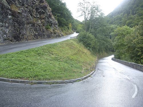
The Col du Portillon (Catalan: El coll de Portilló) (elevation 1,293 metres (4,242 ft)) is a mountain pass in the Pyrenees on the border between France and Spain. It connects Bagnères-de-Luchon in France with Bossòst in the Val d'Aran, Spain.
Contents
- Col du portillon
- Map of Col du Portillon 31110 Saint Mamet France
- Col du portillon 9 17 14
- Details of climbEdit
- Appearances in Tour de FranceEdit
- References
Map of Col du Portillon, 31110 Saint-Mamet, France
Col du portillon 9 17 14
Details of climbEdit
Starting from Bossòst, the climb is 8.6 km (5.3 mi) long. Over this distance, the climb is 583 m (1,913 ft) at an average of 6.8%. The steepest section is at 8.2%, 3 km (2 mi) from the summit.
Starting from Bagnères-de-Luchon, the climb is 10.2 km (6.3 mi) long. Over this distance, the climb is 663 m (2,175 ft) at an average of 6.5%. The final 7.9 km (4.9 mi) is at an average gradient of 8.4%, with the steepest section being at 13.9%.
Appearances in Tour de FranceEdit
The Col du Portillon was first used in the Tour de France in 1957, since when it has featured 18 times, most recently in 2006, when the leader over the summit was David de la Fuente.