
Country United States Type of dam Rock-filled Height 81 m Catchment area 99.46 km² | Opening date 1935 Length 585 ft (178 m) Opened 1935 Surface area 59 ha | |
 | ||
Similar San Gabriel Dam, Morris Dam, Santa Anita Dam, Santa Fe Dam, Big Tujunga Dam | ||
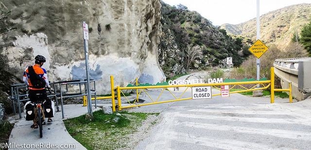
Cogswell Dam is a rockfill dam on the West Fork of the San Gabriel River in Los Angeles County, California. It is in the San Gabriel Mountains, northeast of Mount Wilson, and within the Angeles National Forest.
Contents
Map of Cogswell Dam, Azusa, CA 91702, USA
It forms Cogswell Reservoir, which has a capacity of 8,969 acre feet (11,063,000 m3).
It serves mainly for flood control in conjunction with San Gabriel Dam and Morris Dam downstream. San Gabriel Dam lies 13 miles (21 km) downstream.
ConstructionEdit
Bonds for the dam's construction were issued in 1924. Construction began March 1932 and was completed April 1934, at a total cost of US$3,127,762.
The rock-fill dam, built by the Los Angeles County Flood Control District, is 585 feet (178 m) long, 266 feet (81 m) tall (measured from the stream bed), 18 feet (5.5 m) wide at the top, and contains 1,044,945 cubic yards (798,918 m3) of material. Its crest is 2,412 feet (735 m) above sea level and 27 feet (8.2 m) above the certified water storage elevation.
The dam rests on crystalline granite bedrock. The buttress is 750 feet (230 m) thick at the base, and the height from foundation to crest is 285 feet (87 m). There are concrete cutoff walls and a concrete facing slab on the dam's upstream side.