- elevation 337 m (1,106 ft) | Basin area 28,400 km² Province Manitoba Country Canada | |
 | ||
The Cochrane River is a river in Canada located in the boreal forest of the Canadian Shield. It flows from Wellbelove Bay on the northern end of Wollaston Lake in north-eastern Saskatchewan to the north-east end of Reindeer Lake in Manitoba. It is part of the Churchill River drainage basin.
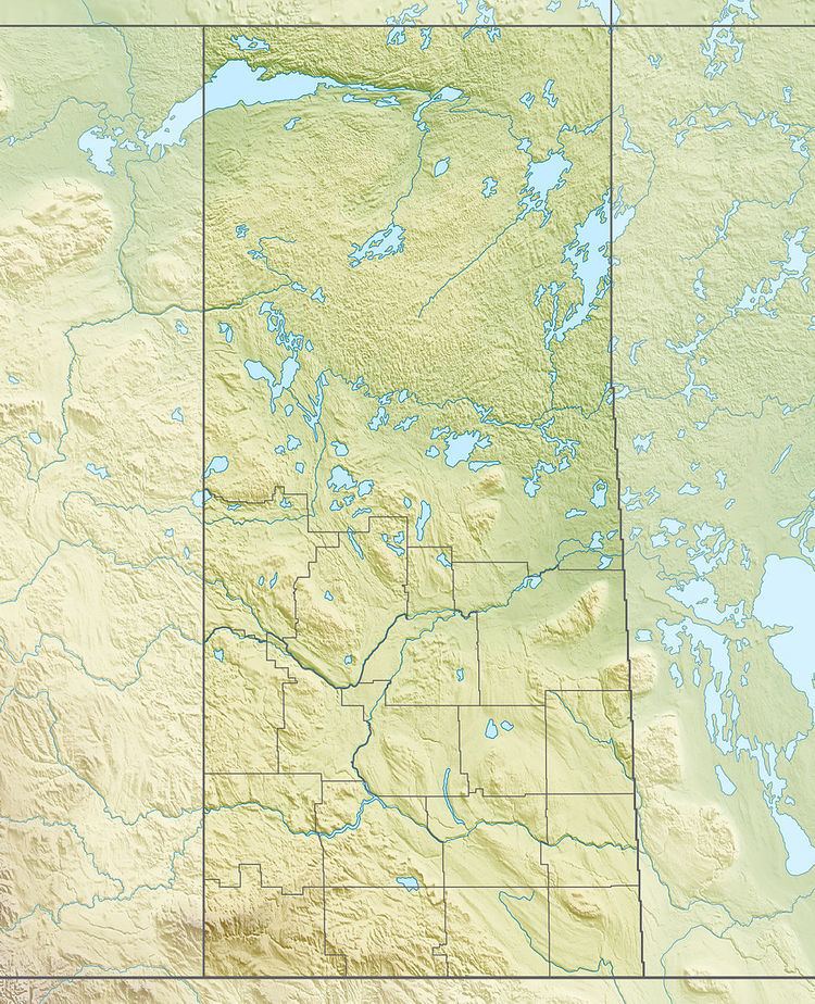
Map of Cochrane River, Manitoba, Canada
The river flows north then east through a series of lakes (Bannock Lake and Charcoal Lake) in Saskatchewan and then flows in a southerly direction through lakes (Misty Lake and Lac Brochet) in Manitoba before entering Brochet Bay on the north-eastern end of the Manitoba section of Reindeer Lake.
The remote Manitoba communities of Lac Brochet is located on Lac Brochet and Brochet and Barren Lands are near the rivers' mouth.
References
Cochrane River (Canada) Wikipedia(Text) CC BY-SA
