
Country Canada Postal Code R0B 2E0 Local time Friday 1:00 PM Number of airports 1 | Population 816 (2011) Province Manitoba | |
 | ||
Weather -25°C, Wind NW at 13 km/h, 64% Humidity | ||
Lac Brochet is a First Nation community in the boreal forest of northern Manitoba, Canada. The village is located on the north shore of Lac Brochet.
Contents
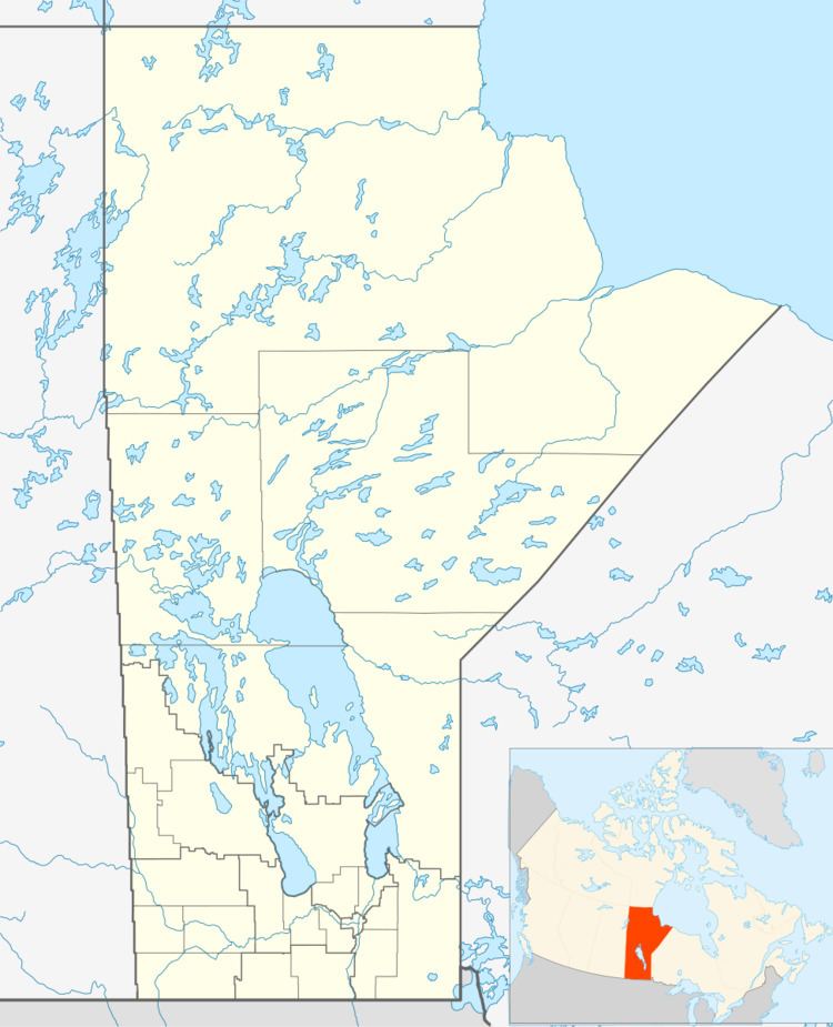
Map of Lac Brochet, MB, Canada
There are no permanent roads connecting Lac Brochet with other parts of Manitoba (there are some that are passable only during the winter). Many residents travel using the Lac Brochet Airport located near town.
Petit Casimir Memorial School is the K-12 school in the community.
Northlands First Nation
The village is the administrative centre of the Northlands First Nation. The territories of the First Nation include five parcels of land.
As of February 2013 the total membership of Northland First Nation was 1,024 with 868 members living on-reserve and 156 members living off-reserve. The First Nation is governed by a Chief and six councillors and is affiliated with the Keewatin Tribal Council. The Keewatin Tribal Council with its head office in Thompson represents eleven First Nations in Northern Manitoba.
Demographics
720 residents chose Dene as their mother tongue in 2011 and 10 chose Cree as their mother tongue. English was spoken by most of the population.