
Elevation 346 m | Local time Friday 8:05 PM Number of airports 1 | |
 | ||
Weather -11°C, Wind S at 27 km/h, 77% Humidity | ||
Brochet is an unincorporated community located in Northern Manitoba on the northern shore of Reindeer Lake near the Saskatchewan border.
Contents
- Map of Brochet MB Canada
- Lamp visit from st michael to lac brochet manitoba
- Climate
- Demographics
- Population centre
- References
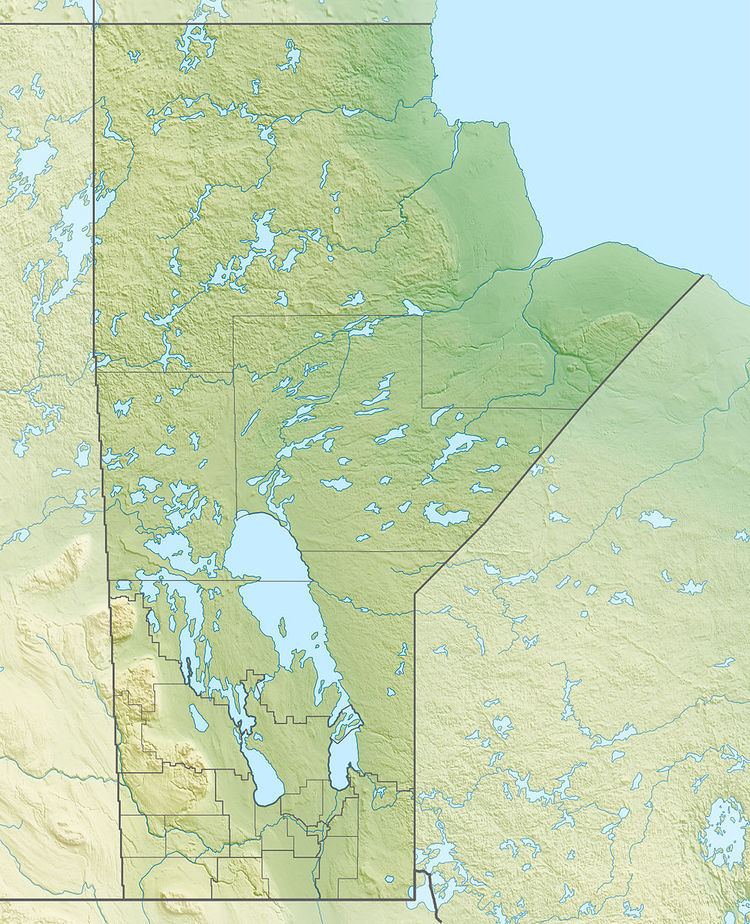
Map of Brochet, MB, Canada
There is no year-round road service to the mostly Cree people. A winter road is in place only a few months a year. Air service at Brochet Airport is the main link outside the community. It takes roughly one hour to reach Brochet from Thompson, Manitoba, by air, and approximately 4 to 6 hours via winter road from Lynn Lake, Manitoba, depending on road conditions.
In Northern Manitoba, there are a few unincorporated communities aside from Brochet. They are Granville Lake and South Indian Lake. There are also several First Nations and Aboriginal communities. They are: Barren Lands First Nation, Northlands First Nation, Sayisi Dene, Split Lake Cree, Fox Lake, Shamattawa, and Mathias Colomb.
Lamp visit from st michael to lac brochet manitoba
Climate
The climate of Brochet is extremely variable. The hottest temperature ever recorded was 33.5 C on August 11, 1991, and the lowest -51.7 C on February 15, 1966.
Demographics
In the 2011 Census, the Brochet designated place had a population of 7002146000000000000♠146 living in 7001450000000000000♠45 of its 7001490000000000000♠49 total private dwellings.
Population centre
Adjoining Brochet is the territory of the Barren Lands First Nation called Brochet 197. These two communities, Brochet 197 with 547 residents and Brochet with 146 residents, form a population centre of 693 people also called Brochet.