
Country United States County Genesee Organized 1846 Area 88.6 km² Local time Monday 5:26 PM Area code 810 | Settled 1839 Time zone Eastern (UTC-5) Elevation 233 m Population 7,581 (2010) | |
 | ||
Weather 12°C, Wind S at 26 km/h, 83% Humidity | ||
Clayton Charter Township, or more officially Charter Township of Clayton, is a charter township of Genesee County in the U.S. state of Michigan. The population was 7,581 at the 2010 census.
Contents
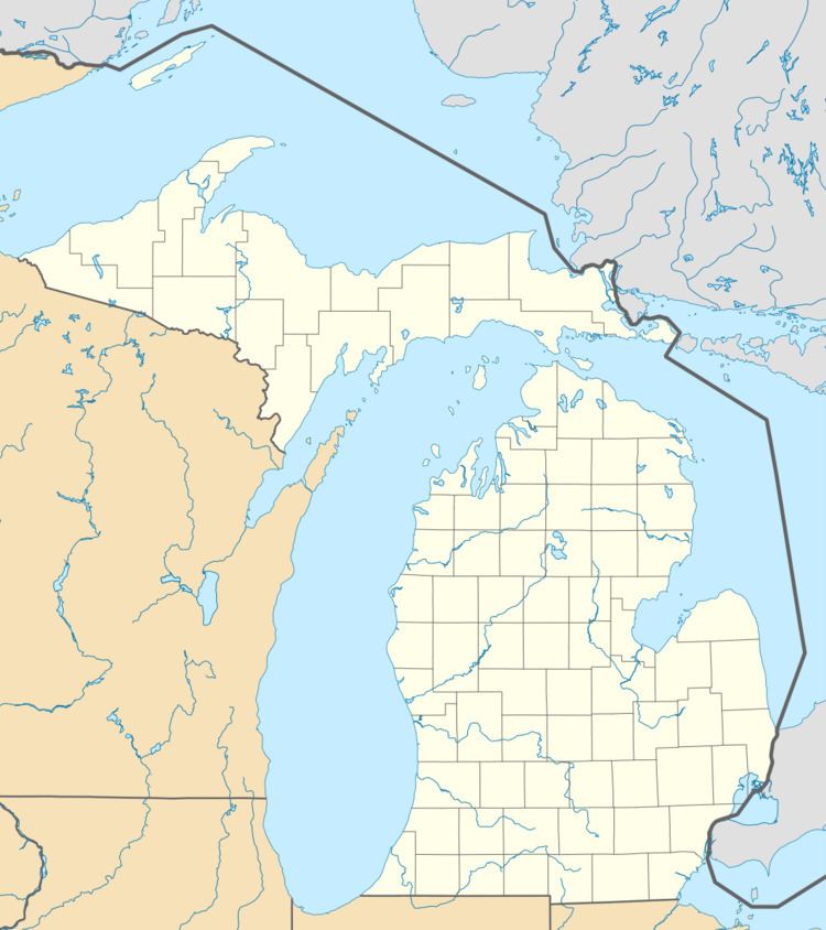
Map of Clayton Twp, MI, USA
Communities
History
In the Northeast area of the township on November 2, 1855, the Valeria post office opened with Andrew N. Felt as postmaster. This PO closed on November 21, 1860.
On November 3, 2009, a successful recall took place removing the township supervisor, Bruce Beatty, and two trustees, Glenn Huffman and Chuck Shinouskis.
1. Recalled. 2. Resigned. 3. Appointed.
Geography
According to the United States Census Bureau, the township has a total area of 34.2 square miles (89 km2), all land. The southeast corner is separated from the rest of the township by the city of Swartz Creek. Misteguay Creek has its headwaters in the township.
The Central Michigan Railway runs northeast toward Flushing and, ultimately, Saginaw, and southwest through Lennon toward Durand.
In the late 1980s, the township's land was mostly dedicated to farming. A few subdivisions existed on the north and east sides of the township, closer to urban areas, as well as one in the middle of the township. The Village of Lennon and Swartz Creek Meadows, a mobile home park near the village, were the other built-up areas.
Since then, several large farms have been turned into subdivisions, and large houses have been constructed in more rural sections.
Government
Clayton has a Supervisor-Board style township government with elected supervisor, clerk, treasurer and four trustees.
The township and Swartz Creek cooperate in operating the Swartz Creek Area Fire Department, which has one fire station in each of the two municipalities. The Clayton Township Police Department was formed in 2002 after the passage of a public service property tax by residents.
Demographics
At the 2010 census, there were 7,581 people, 2,897 households and 2,198 families residing in the township. The population density was 221.67 per square mile (88.51/km²). There were 3,097 housing units at an average density of 90.56 per square mile (34.92/km²). The racial makeup of the township was 93.2% White, 3.2% African American, 0.5% Native American, 0.7% Asian, 0.1% from Native Hawaiian and Other Pacific Islander, 0.8% from other races, and 1.5% from two or more races. Hispanic or Latino of any race were 2.8% of the population.
There were 2,897 households of which 20.6% had children under the age of 18 living with them, 63.7% were married couples living together, 8.7% had a female householder with no husband present, and 24.1% were non-families. 20.7% of all households were made up of individuals and 9.5% had someone living alone who was 65 years of age or older. The average household size was 2.61 and the average family size was 3.01.