
Congressional district 5th Area 1,684 km² Population 415,376 (2013) | Clerk John J. Gleason Unemployment rate 5.4% (Apr 2015) | |
 | ||
Founded March 28, 1835 (created)1836 (organized) Points of interest Sloan Museum, Flint Children's Museum, Crossroads Village & Hucklebe, For‑Mar Nature Preserve, Kearsley Park Colleges and Universities University of Michigan–Flint, Mott Community College, Baker College, Kettering University, Ross Medical Educatio | ||
Genesee County is a county in the U.S. state of Michigan. As of the 2010 census, the population was 425,790, making it the fifth-most populous county in Michigan. The county seat and population center is Flint (birthplace of General Motors). Genesee County is considered to be a part of the greater Mid Michigan area.
Contents
- Map of Genesee County MI USA
- History
- Geography
- Adjacent counties
- Airport
- Railroad
- Bus
- Major highways
- Demographics
- Government
- Villages
- Townships
- Census designated places
- References
Map of Genesee County, MI, USA
Genesee County comprises the Flint, MI Metropolitan Statistical Area and is included in the Detroit-Warren-Ann Arbor, MI Combined Statistical Area.
History
Genesee County was created on March 28, 1835 and was fully organized on April 4, 1836. It was named after Genesee County, New York. Many local place names in the county are also from New York and Pennsylvania, reflecting the pattern of settlement. A major attraction for visitors is Crossroads Village, a living history village north of Flint.
Genesee is noted for having had the fossil of an ancient whale known as Balaenoptera Lacepede unearthed in Thetford Township during quarry work and estimated at 11,000 years old.
In July 2010, the County Board voted to merge the clerk and register of deeds offices, effective January 1, 2013. On October 26, 2010, Genesee County became a founding member of the Karegnondi Water Authority.
On May 30, 2012, it was reported Genesee County has had 45 confirmed tornadoes since 1950 (most notably the 1953 Flint–Beecher tornado), more than any other county in Michigan in that time period.
Geography
According to the U.S. Census Bureau, the county has a total area of 650 square miles (1,700 km2), of which 637 square miles (1,650 km2) is land and 13 square miles (34 km2) (1.9%) is water.
Most of the land in the county is very flat, but the southern end is hilly and covered by several lakes.
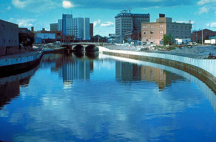
The county is mostly drained by the Flint River, which is dammed into Mott Lake and the Holloway Reservoir in the northeast corner of the county. The southeast corner and southern end are drained by the Shiawassee River.
Adjacent counties
Airport
Railroad
Bus
Major highways
Demographics
The 2010 United States Census indicates Genesee County had a 2010 population of 425,790. This is a decrease of -10,351 people from the 2000 United States Census. Overall, the county had a -2.4% growth rate during this ten-year period. In 2010 there were 169,202 households and 111,620 families in the county. The population density was 668.5 per square mile (258.1 square kilometers). There were 192,180 housing units at an average density of 301.7 per square mile (116.5 square kilometers). 74.5% of the population were White, 20.7% Black or African American, 0.9% Asian, 0.5% Native American, 0.7% of some other race and 2.6% of two or more races. 3.0% were Hispanic or Latino (of any race). 18.0% were of German, 11.0% Irish, 10.6% English, 5.5% Polish 5.4% American and 4.8% French ancestry. , There were 169,202 households out of which 32.6% had children under the age of 18 living with them, 43.3% were husband and wife families, 17.2% had a female householder with no husband present, 34.0% were non-families, and 28.4% were made up of individuals. The average household size was 2.48 and the average family size was 3.03.
In the county, the population was spread out with 25.0% under age of 18, 8.9% from 18 to 24, 24.7% from 25 to 44, 27.6% from 45 to 64, and 13.7% who were 65 years of age or older. The median age was 39 years. For every 100 females there were 93.1 males. For every 100 females age 18 and over, there were 89.4 males.
The 2010 American Community Survey 1-year estimate indicates the median income for a household in the county was $38,819 and the median income for a family was $48,979. Males had a median income of $27,269 versus $18,082 for females. The per capita income for the county was $19,860. About 16.9% of families and 21.0% of the population were below the poverty line, including 31.0% of those under the age 18 and 6.3% of those age 65 or over.
Government
The county government operates the jail, maintains rural roads, operates the major local courts, keeps files of deeds and mortgages, maintains vital records, administers public health regulations and safeguards public health, and participates with the state in the provision of welfare and other social services. The county board of commissioners controls the budget but has only limited authority to make laws or ordinances. In Michigan, most local government functions — police and fire, building and zoning, tax assessment, street maintenance, etc. — are the responsibility of individual cities and townships.
Genesee County is a founding member of the Karegnondi Water Authority with Board of Commission Chair Jamie W. Curtis representing the County on the Authority Board. The "outcounty" area (all but the city of Flint) receives library services from the Genesee District Library, which taxes for operations .998 mills total from two separate levies.