
Country United States County Shiawassee FIPS code 26-23500 Area 5.4 km² Zip code 48429 Local time Wednesday 12:44 AM | Time zone Eastern (EST) (UTC-5) GNIS feature ID 0625016 Elevation 242 m Population 3,362 (2013) Area code 989 | |
 | ||
Weather 6°C, Wind SW at 19 km/h, 45% Humidity | ||
Durand is a city in Shiawassee County of the U.S. state of Michigan. The population was 3,446 at the 2010 census.
Contents
Map of Durand, MI 48429, USA
History
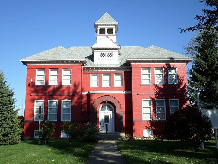
Durand was originally called Vernon Center, and under the latter name was platted in 1836 and named from its location in Vernon Township. The present name is for congressman George Durand of Flint, Michigan. Durand was incorporated as a village in 1887 and as a city in 1932.
Geography
According to the United States Census Bureau, the city has a total area of 2.10 square miles (5.44 km2), all land.
2010 census
As of the census of 2010, there were 3,446 people, 1,350 households, and 852 families residing in the city. The population density was 1,641.0 inhabitants per square mile (633.6/km2). There were 1,575 housing units at an average density of 750.0 per square mile (289.6/km2). The racial makeup of the city was 96.3% White, 0.6% African American, 1.0% Native American, 0.1% Asian, 0.5% from other races, and 1.5% from two or more races. Hispanic or Latino of any race were 2.9% of the population.
There were 1,350 households of which 35.0% had children under the age of 18 living with them, 42.5% were married couples living together, 14.7% had a female householder with no husband present, 5.9% had a male householder with no wife present, and 36.9% were non-families. 31.9% of all households were made up of individuals and 13.8% had someone living alone who was 65 years of age or older. The average household size was 2.45 and the average family size was 3.08.
The median age in the city was 37.2 years. 25.8% of residents were under the age of 18; 9% were between the ages of 18 and 24; 25.3% were from 25 to 44; 24.1% were from 45 to 64; and 15.7% were 65 years of age or older. The gender makeup of the city was 46.8% male and 53.2% female.
2000 census
As of the census of 2000, there were 3,933 people, 1,481 households, and 1,008 families residing in the city. The population density was 1,999.6 per square mile (770.8/km²). There were 1,561 housing units at an average density of 793.6 per square mile (305.9/km²). The racial makeup of the city was 96.95% White, 0.08% African American, 0.66% Native American, 0.08% Asian, 0.03% Pacific Islander, 0.56% from other races, and 1.65% from two or more races. Hispanic or Latino of any race were 1.78% of the population.
There were 1,481 households out of which 35.9% had children under the age of 18 living with them, 49.5% were married couples living together, 13.8% had a female householder with no husband present, and 31.9% were non-families. 26.8% of all households were made up of individuals and 12.6% had someone living alone who was 65 years of age or older. The average household size was 2.55 and the average family size was 3.10.
In the city, the population was spread out with 27.2% under the age of 18, 9.4% from 18 to 24, 29.6% from 25 to 44, 18.9% from 45 to 64, and 14.9% who were 65 years of age or older. The median age was 35 years. For every 100 females there were 88.3 males. For every 100 females age 18 and over, there were 84.8 males.
The median income for a household in the city was $36,563, and the median income for a family was $43,306. Males had a median income of $42,716 versus $22,033 for females. The per capita income for the city was $17,273. About 8.9% of families and 11.3% of the population were below the poverty line, including 16.0% of those under age 18 and 8.5% of those age 65 or over.
Transportation
Railroads have always played a major role in Durand's history and economy. Amtrak, the national passenger rail system, provides daily service on the Blue Water route between Chicago and Port Huron, Michigan. Amtrak trains stop at the historic Durand Union Station which is located at the junction of major east/west and north/south rail lines.
Freight railroads operating in Durand include Canadian National Railway (CN), Huron and Eastern Railway (HESR), and Great Lakes Central Railroad (GLC).
I-69 is the major highway which gives access to Durand. The city can be accessed from the M-71 exit from the freeway.