
Country United States Elevation 250 m Local time Monday 4:51 PM | GNIS feature ID 0453211 Area 74.44 km² Population 3,885 (2010) | |
 | ||
Weather 13°C, Wind S at 31 km/h, 96% Humidity | ||
Clay Township is one of eleven townships in Howard County, Indiana, United States. As of the 2010 census, its population was 3,885 and it contained 1,565 housing units. This township also contains a small portion of Kokomo. The population of the Kokomo portion, however, is zero.
Contents
- Map of Clay Township IN USA
- History
- Geography
- Former Settlements
- Adjacent townships
- Major highways
- Airports and landing strips
- References
Map of Clay Township, IN, USA
History
Clay Township was named for Henry Clay, a politician and statesman from Kentucky.
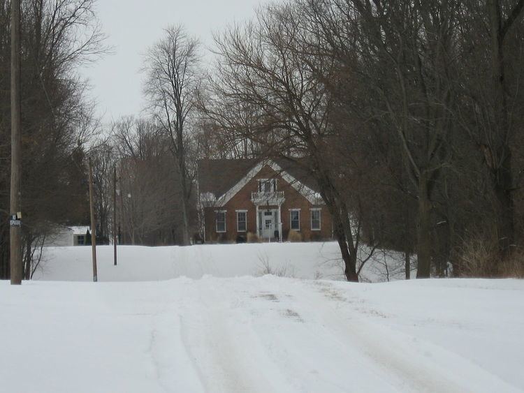
The Henry W. Smith House was listed on the National Register of Historic Places in 1979.
Geography
According to the 2010 census, the township has a total area of 28.74 square miles (74.4 km2), of which 28.7 square miles (74 km2) (or 99.86%) is land and 0.04 square miles (0.10 km2) (or 0.14%) is water. The stream of Villa Run runs through this township.
Former Settlements
Adjacent townships
Major highways
Airports and landing strips
References
Clay Township, Howard County, Indiana Wikipedia(Text) CC BY-SA