
Country United States Elevation 247 m Local time Thursday 1:28 PM | GNIS feature ID 0453639 Area 49.7 km² Population 1,407 (2010) | |
 | ||
Weather 1°C, Wind W at 14 km/h, 42% Humidity | ||
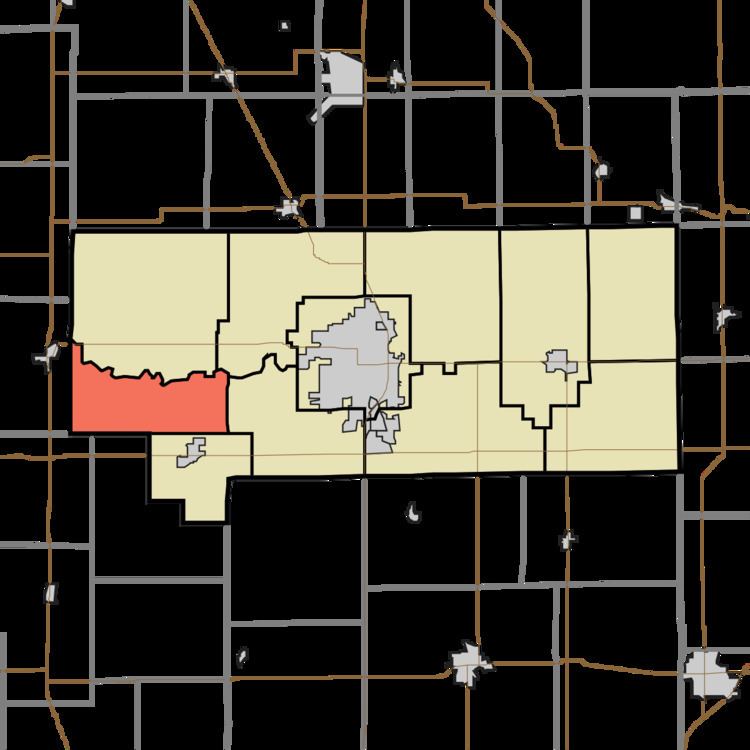
Monroe Township is one of eleven townships in Howard County, Indiana, United States. As of the 2010 census, its population was 1,407 and it contained 560 housing units.
Contents
- Map of Monroe Township IN USA
- History
- Geography
- Unincorporated communities
- Adjacent townships
- Major highways
- References
Map of Monroe Township, IN, USA
History
Monroe Township was established in 1837.
Geography
According to the 2010 census, the township has a total area of 19.2 square miles (50 km2), all land. The streams of Little Wildcat Creek, Walnut Fork and West Honey Creek run through this township. As the 1870 census, New London was an incorporated town with a population of 240 people, which at the time was much more than Russiaville (at 160). In the 1880 census New London is no longer shown as an incorporated town, whereas Greentown (in Liberty Township) was shown as being incorporated.
Unincorporated communities
(This list is based on USGS data and may include former settlements.)