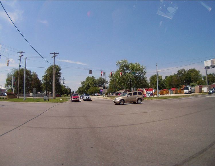
Country United States Elevation 254 m Local time Friday 3:15 AM | GNIS feature ID 0453389 Area 56.38 km² Population 9,489 (2010) | |
 | ||
Weather 0°C, Wind SE at 11 km/h, 66% Humidity University Ross Medical Education Center | ||
Harrison Township is one of 11 townships in Howard County, Indiana, United States. As of the 2010 census, its population was 9,489 and it contained 4,169 housing units.
Contents
- Map of Harrison Township IN USA
- Geography
- Cities and towns
- Unincorporated towns
- Former Settlements
- Adjacent townships
- Cemeteries
- Major highways
- Airports and landing strips
- Golf Courses
- Parks
- Schools
- Post Offices
- HotelsBed Breakfasts
- Food
- Gas
- Pharmacies
- Public Safety
- References
Map of Harrison Township, IN, USA
Geography
According to the 2010 census, the township has a total area of 21.77 square miles (56.4 km2), of which 21.68 square miles (56.2 km2) (or 99.59%) is land and 0.09 square miles (0.23 km2) (or 0.41%) is water. Harrison Township was also one of the only townships in Howard County to grow from 2000 to 2010.
Cities and towns
Unincorporated towns
Former Settlements
Adjacent townships
Cemeteries
The township contains two cemeteries: Sunset Memory Gardens and Twin Spring.
Major highways
Airports and landing strips
Golf Courses
Parks
Schools
Post Offices
Hotels/Bed & Breakfasts
Food
Gas
Pharmacies
Public Safety
References
Harrison Township, Howard County, Indiana Wikipedia(Text) CC BY-SA
