
County Hendricks ZIP code 46121 Elevation 277 m | State Indiana FIPS code 18-63774 Local time Monday 5:30 PM | |
 | ||
Weather 14°C, Wind E at 13 km/h, 89% Humidity | ||
Reno is an unincorporated community in Clay Township, Hendricks County, Indiana.
Contents
Map of Reno, IN 46121, USA
History
Reno was platted in 1870 when the railroad was extended to that point. It was likely named for Jesse L. Reno, an officer who served in the Mexican–American War. A post office was established at Reno in 1870, and remained in operation until it was discontinued in 1912.
Geography
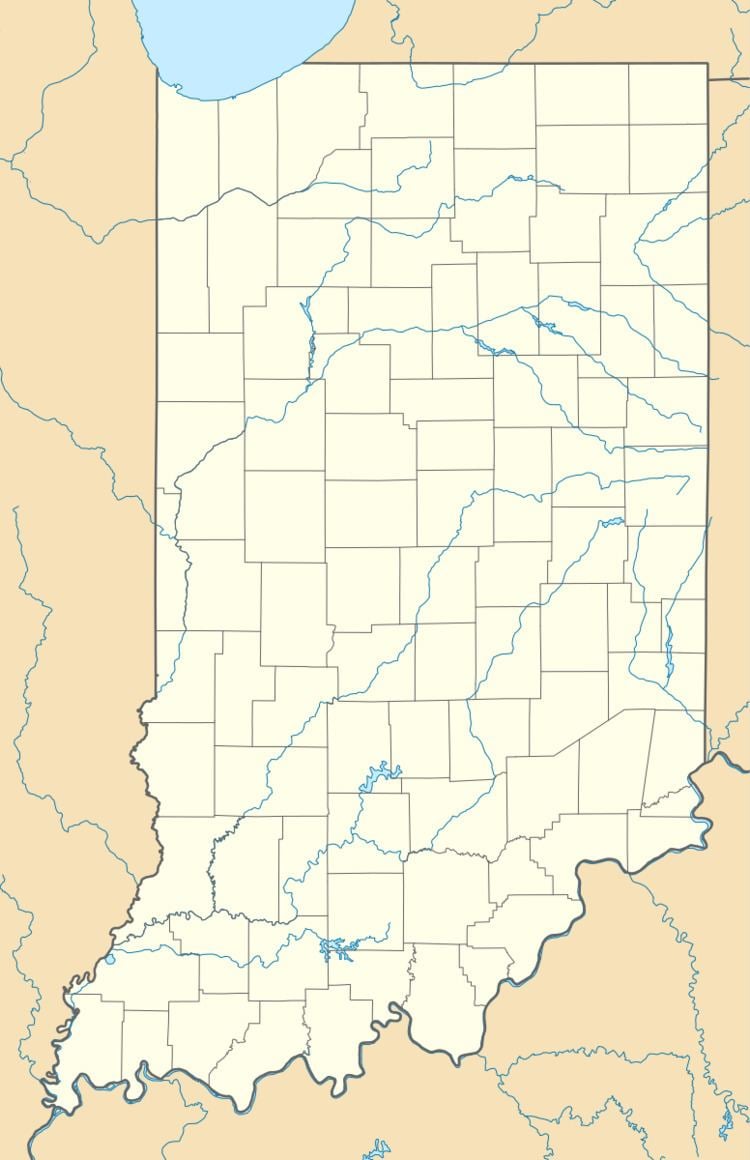
Reno is located at 39°42′37″N 86°40′13″W.
References
Reno, Indiana Wikipedia(Text) CC BY-SA