
Country United States Elevation 240 m Local time Thursday 7:39 AM | GNIS feature ID 0453304 Area 68.57 km² Population 1,297 (2010) | |
 | ||
Weather -8°C, Wind SW at 5 km/h, 82% Humidity | ||
Franklin Township is one of twelve townships in Hendricks County, Indiana, United States. As of the 2010 census, its population was 1,297.
Contents
- Map of Franklin Township IN USA
- History
- Geography
- Cities and towns
- Adjacent townships
- Cemeteries
- Major highways
- Airports and landing strips
- References
Map of Franklin Township, IN, USA
History
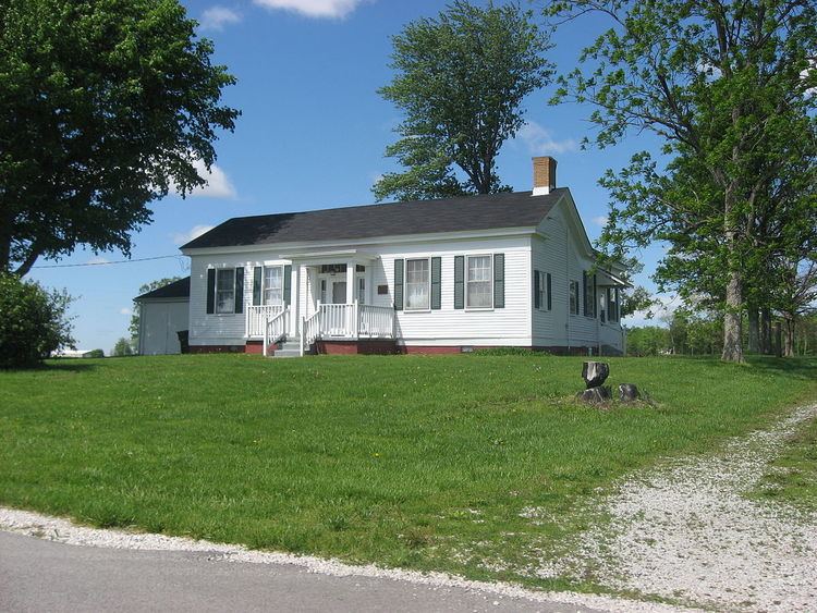
McCormack-Bowman House was added to the National Register of Historic Places in 1995.
Geography
Franklin Township covers an area of 26.48 square miles (68.6 km2); of this, 0.04 square miles (0.10 km2) or 0.16 percent is water. The streams of Crittenden Creek and East Fork Mill Creek run through this township.
Cities and towns
Adjacent townships
Cemeteries
The township contains five cemeteries: Hebron Presbyterian, Pleasant Hill, Snoddy Family, Stilesville and Walnut Grove.
Major highways
Airports and landing strips
References
Franklin Township, Hendricks County, Indiana Wikipedia(Text) CC BY-SA