
- elevation 833 ft (254 m) Length 87 km Country United States of America | - location Lake Scanewa - min 165 cu ft/s (4.7 m/s) Discharge 28.35 m³/s | |
 | ||
- average 1,001 cu ft/s (28.3 m/s) - max 9,800 cu ft/s (277.5 m/s) | ||
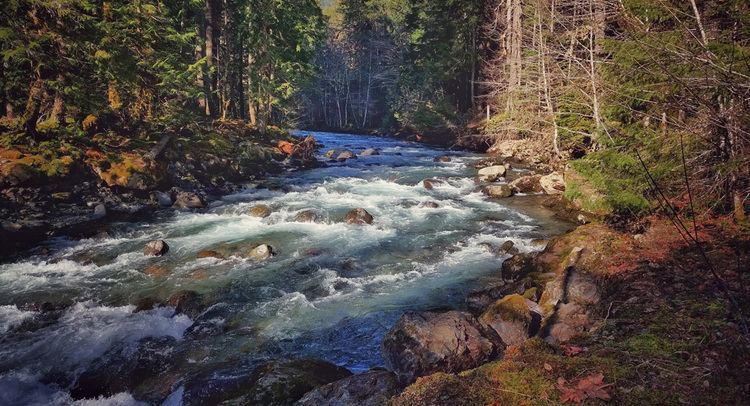
Under cispus river fall cispus basin goat rocks wilderness wa july 2015
The Cispus River is about 54 miles (87 km) long and flows into the Cowlitz River at Lake Scanewa in the Cascade Mountains of Washington. Its tributaries drain most of south-central and southeastern Lewis County, extreme northeast Skamania County, and some of western Yakima County.
Contents
- Under cispus river fall cispus basin goat rocks wilderness wa july 2015
- Map of Cispus River Washington USA
- References
Map of Cispus River, Washington, USA
Its main stem begins in Lewis County in a high, glacial valley to the north of Snowgrass Flats in the Goat Rocks Wilderness, located on the Gifford Pinchot National Forest. From here the river flows in a southwesterly direction and takes on the waters of several important headwater tributaries such as Walupt Creek.
About 40 miles (64 km) from its mouth, the Cispus River receives Muddy Fork from the left. Muddy Fork starts 7 miles (11 km) from this junction, at Mount Adams' Lava Glacier and is named for the glacial debris and silt in the water which give the river a muddy appearance. The Cispus River flows though a heavily forested valley, much of the forest regrown after the Cispus Burn, which occurred the first decade of the 20th century and consumed most of the lower drainage.
The rushing Canyon Creek enters the river originating high on the slopes of Mount Adams. A few miles down the North Fork Cispus enters the main branch about 20 miles (32 km) from its start. From here on, the Cispus River flows westerly, passing campgrounds and trails in the Gifford Pinchot National Forest. Two tributaries, Yellowjacket and McCoy Creeks, flow into the river from the south about midway though its course. Beyond here, the river passes beneath Tower Rock, a prominent basalt monolith on the south side of the river. Soon after this the river leaves the Gifford Pinchot National Forest and enters the Weyerhaeuser Cowlitz Tree Farm. The Cispus River ends its course entering the Cowlitz River at Lake Scanewa, just upstream from Cowlitz Falls and Riffe Lake.
There is a stream flow monitoring station on the river which sends its data live to the USGS. Whitewater rafting also takes place on the Cispus River.