
 | ||
South end: M.L. Quezon Street in Taguig | ||
Circumferential Road 6, more commonly referred to as C-6, is a planned network of roads and bridges that altogether would form the sixth and outermost beltway of Manila in the Philippines. The road would link Metro Manila with the province of Bulacan in the north, Rizal in the east, and Cavite in the south, passing through the cities of Pasig, Taguig and Muntinlupa. Also known as the Metro Manila Tollway, it was originally intended to be a 59.5-kilometre (37.0 mi) long circumferential expressway linking North Luzon Expressway in San Jose del Monte and South Luzon Expressway in Muntinlupa passing through the Rizal cities and municipalities of Rodriguez, San Mateo, Antipolo and Taytay, and extending to Bacoor, Imus, Kawit and Noveleta in Cavite.
Contents
Map of C-6, Taguig, Metro Manila, Philippines
At present, only the Taguig segment of the road is complete.
Route
The road consists of the following segments:
Laguna Lake Highway
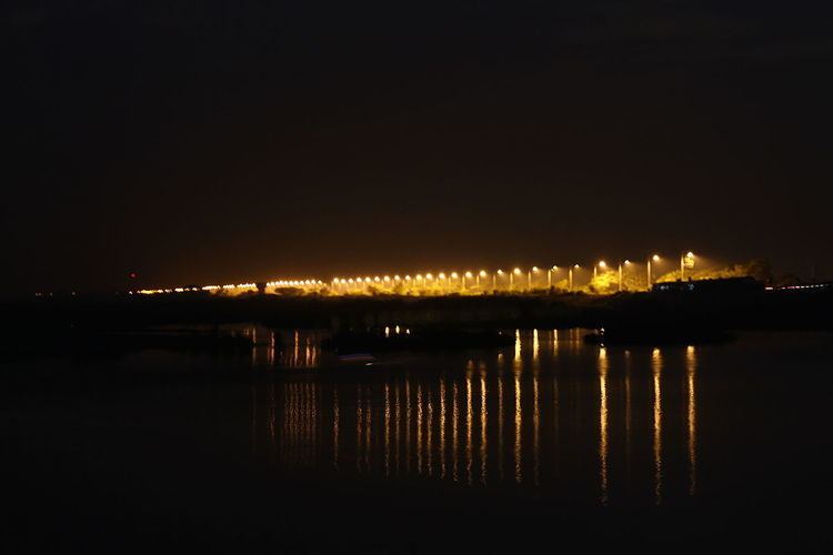
C-6 in Taguig was built in 2009 along the shore of the Laguna de Bay. It is a two-lane road which runs for approximately 7 kilometres (4.3 mi) from M.L. Quezon Street in Bicutan to the Napindan Bridge over the Pasig River near the city's border with the Rizal municipality of Taytay. The road project was approved in 2002 as the Taguig Road Dike intended to run for 9.8 kilometres (6.1 mi) from the South Luzon Expressway towards Rizal and also serve as flood control for Taguig. In February 2017, the road was widened to four lanes and has been renamed by the Department of Public Works and Highways as the Laguna Lake Highway.
The road is planned to link to the proposed Laguna Lakeshore Expressway Dike.