
Country Area 55.09 km2 | Region CALABARZON District 2nd District of Rizal Founded February 29, 1908 Mayor Jose Rafael E. Diaz | |
San Mateo (Filipino: Bayan ng San Mateo) is a first class urban municipality in Rizal Province, Philippines. Located on the island of Luzon, San Mateo is one of 13 municipalities and a capital city that make up the Province of Rizal. It is also part of the Metro Luzon Urban Beltway, that is composed of Region 3, Region 4-A (CALABARZON) and the nearby National Capital Region (NCR).
Contents
Map of San Mateo, Rizal
San Mateo is located along the western border of Rizal Province, it is bordered on the west by Quezon City, to the south by Marikina City and Antipolo City, the capital of Rizal Province, and to the north by Rodriguez (Montalban) also in Rizal province. It is approximately 24 kilometres (15 mi) away from Manila and 11 kilometres (6.8 mi) north of Pasig City, the former town capital of Rizal.
According to the 2010 Philippine census, San Mateo has population of 205,255 inhabitants, or 8.26% of the total population of Rizal. Conurbated to the urban agglomeration of the Greater Manila Area, San Mateo is one of the fastest growing municipalities in Rizal Province, according to the Metropolitan Manila Development Authority (MMDA) and the Provincial Government of Rizal.
Geography
The town lies in the Marikina Valley. The Marikina River runs through the western portion of the municipality, while Nangka River runs through the south, bounded by Marikina City. San Mateo has lush trees in other high areas.
The municipality has many spacious parks, tree-lined streets and roads, and industrial zones. Most of the municipality is composed of residential areas, whereas the eastern side is composed of high plateaus and foothills of the Sierra Madre Mountains.
History
In his book Conquistas de las Islas Filipinas, Father Gaspar de San Agustin records the Municipality of San Mateo in 1572 as a town annexed to Pasig. He described the inhabitants as "fierce but friendly and of quiet disposition." Father Juan de Medina, in his account Relacion de los Con ventos Y Pueblos Fundados por los PP. Agustinos, likewise put 1572 as the year the Parish of San Mateo was established. However according to Miguel Lopez de Legazpi, the first Spanish Governor in the Philippines (1571 to 1572), it was Juan de Salcedo, his nephew who discovered the site of present-day San Mateo during one of his expeditions to Manila from Cebu. Accounts say that two years before he came to Manila from Cebu, Legazpi sent Salcedo along with 150 soldiers to prepare the inauguration of the City of Manila. It must have been Salcedo who discovered the town before Legazpi inaugurated Manila on June 24, 1571.
Still, another account was that of Father Cavada, an Augustinian priest, who said that the first chapel in the country, having the Patron Saint Matthew was built by the riverside in 1596 south of the present Poblacion of San Mateo which was then only a Barrio of Tondo. Saint Matthew thus gave to the town its name when the chapel was set up during his feast day.
What may be gleaned from the above accounts somehow is that San Mateo was discovered sometime in 1571, while it was in 1596 when it acquired its first church. It may be true, too, that the Parish of San Mateo was set up in 1572.
Aside from the controversy over the date of its discovery or creation, there is also uncertainty as to how San Mateo acquired its name. According to one account, when the Spaniards made a reconnaissance of Manilas environs, they came upon the San Mateo flood plains and became enamored by the natural beauty of the place. They decided to establish a community in the place and one day, a Spanish scribe happened to stand on a mound with a book on one hand and a pen on the other. His statue-like pose prompted a companion to laugh and comment, "Muy" friend, the way you are now makes you look like Saint Matthew, referring of course to the usual way the evangelist saint is depicted in his statues. In the midst of their banter and merriment, they decided to call the place they discovered ‘San Mateo’.
Another account says that the Municipality of San Mateo was so called because of its geographical resemblance to another town in Spain with the same name. As described by Paluzie in a geographical book, this small Spanish town was near a high mountain (and) has a river that flows in its center which often floods but quickly recedes. this town is also a grazing ground for big animals and a fishing village. San Mateo is traversed by the Maly and Nangka rivers and its flood plains may have been a lush grazing area then.
The Augustinian priests in San Mateo were later formally replaced (in 1689) by the Jesuits who as early as 1637 included San Mateo as one of their missions, with the missions of San Isidro and Paynaan under it. The Jesuit Order brought with them an image of the Virgin Mary which came from the town of Aranzazu, Nueva Vizcaya, Spain. The Jesuits were the ones responsible for building the church now located in the Poblacion since the original chapel set up by the Augustinians beside the river was destroyed during a flood. The location of the present church is in Barangay Sta. Ana and its patron saint is the Virgin Mary of Aranzazu. The original images of Saint Matthew which was housed in the old Augustinian chapel has been transferred to Barangay Dulongbayan (formerly llaya) and is now the patron saint of the Barangay and whose feast day is always celebrated on September 21.
Over the centuries, San Mateo has had a colorful and distinguished history. In 1639, a pitched battle ensued between Chinese rebels, on one hand and Spanish and native troops, on the other. The Chinese were defeated and retreated east to the Sierra Madre Mountains, but not before burning the town and its church.
On May 16, 1687, the territory and convent of San Mateo were added to Pasig by the Augustinians, with the headquarters and residences of the missionary at Mariquina (Marikina). Two years later, the Agustinians handed over the ecclesiastical administration of San Mateo to the Jesuits. In 1699, the convent of St. Augustine won in a court case against the native inhabitants with regard to a claim over a ranch in the district of San Mateo.
From 1696 to 1746, the town residents rebelled against the Spanish authority in the municipality. They were forced to go to the mountains and abandon the lowland settlement. However, in 1746, the townspeople returned to the lowlands after having been wooed and persuaded by the[Jesuit priests.
The independent-mindedness of the San Mateo people showed itself again in the 15-year period from 1751 to 1765 when the natives rebelled against Spanish governance. The residents were ordered to surrender their weapons, but they refused. With this resistance, the Spanish government was forced to reduce the town to ruins.
In 1712, the Conde de Lizarriaga, the Governor of the Islands, sent Captain Don Lorenzo de Yturriaga together with 12 soldiers to punish Captain Pambila, a native chieftain who was reportedly inciting the residents to revolt against the Spanish government and the local Spanish priest. Captain Pambila attacked the Spanish officer, but the latter was able to parry the blow and shot the native leader dead.
San Mateo with its large size was dismembered on April 27, 1871 when Captain General Isquierdo issued a decree separating the barrios of Balite, Burgos, Marang and Calipahan from San Mateo and formed them into the new municipality of Montalban (Rodriguez).
During the Spanish Period, there was only one public school in San Mateo and the educational advancement of the youth was very slow. There were very few feathers and the books used were limited to the religious tracts called Eaton, Camia, Castiana and Doctrina Christiana After knowing how to read, most students quit school while a few who were wealthy enrolled in the friar schools in Manila.
In November 1896, during the revolution against Spain, General Llanera of the Filipino forces made San Mateo his headquarters. And on August 6, 1898, San Mateo joined the revolutionary government of Gen. Emilio Aguinaldo. During the Philippine–American War, Gen. Licerio Geronimos guerrilla bands from the foothills of San Mateo and Montalban attacked the American troops in October 1900. However, the Filipinos were defeated. A curious twist of history occurred when during the fighting, Gen. Lawton—the famous general who captured the elusive Indian rebel named Geronimo, among his exploits—was also killed by the forces of a Filipino bearing the same name—Gen. Licerio Geronimo. In the eyes of the Filipino people, Gen. Geronimo became a great man for killing an illustrious American General who distinguished himself during the American Civil War and the American military campaign in Cuba as well as In northern, southern and central Luzon.
During the American Occupation. Act No. 137 of the Philippine Commission incorporated San Mateo into the newly created Province of Rizal on June 11, 1901. In line with its policy of fiscal economy and centralized governance, the Philippine Commission enacted Act No. 942 in 1903 which consolidated the municipalities of San Mateo and Montalban, with the former serving as seat of government. On February 29, 1908, Executive Order No. 20 separated San Mateo from Montalban, making the former an independent municipality. Its real divisions then included the barrios of Ampid, Sta Ana, Guitnangbayan, Dulongbayan, Malanday, Guinayang and Maly. However, due to constant development of the rural areas and the increase in population, the barrios of Guitnangbayan and Dulongbayan were divided into two sections.
With regard to education, it was in 1909 during the American Period when public schools were opened in the country under the supervision of Dr. David Burrows. San Mateo became one of the recipients of the benefits of the new democratized system of education when Mr. Frank Green was assigned to the town as the first school supervisor who was assisted by two Filipino teachers, namely, Jose Bernabe and Miguel Cristi. The English language was also taught in the public school. Transportation and other facilities in the municipality were increased and repaired thus resulting to more communication and exchange of goods and services.
During the Japanese Occupation, the Japanese Army occupied San Mateo, but no battle transpired between the Japanese and Filipino forces. There were only minor encounters between the Japanese soldiers and members of the Filipino guerrilla forces. Nevertheless, some prominent residents of the town were killed and maltreated by the Japanese military on suspicion that they were either members or supporters of guerillas.
Upon their arrival in the municipality, the Japanese forces recommended the appropriation of school buildings and some big houses and used them as their headquarters. Productive rice lands irrigated by water from the main pipe of the Metropolitan Water District have also been forcibly appropriated and tilled under the direct supervision of the Japanese officials. Livestock and crops were likewise confiscated to supply the food needs of the Japanese military in San Mateo and Montalban.
When the American forces landed in the north of Manila on February 3, 1945 and started recapturing the surrounding areas, San Mateo came under the line of fire of the U.S. Forces was continued by helped to the Filipino soldiers and guerrilla fighters. Residents were advised by the Air Raid Warden to vacate the Poblacion and seek refuge in Sitio Kalamyong on the west bank of the Marikina River. There they built temporary shelters while the U.S. Army Air Forces bombarded the Japanese Headquarters in Montalban everyday. However, one afternoon a lamentable thing happened when a bomb carried by one American Air Force plane was accidentally released over the evacuation area at Sitio Kalamyong. About one hundred civilians died from the accidental bomb explosion.
Although in the aftermath of the war the American Government compensated the people of San Mateo for the war damages they sustained, there were cases when the amounts received were not considered commensurate with the sufferings endured. When municipal governance was instituted by the Spaniards in San Mateo in 1799, the town was governed by a Gobernadorcillo who served for one year and exercised the power to appoint the Cabeza de Barangay for the same term of one year. However, there were instances when the Governadorcillo served for two or three years. The first resident appointed to the post of Governadorcillo in 1799 was Donato Sulit while the last one to hold the post in 1895 was Ismael Amado, Jr. who incidentally continued serving up to 1905 even after the establishment of the Civil Government under the American Regime in 1901 when he was appointed Kapitan Municipal by the Military Governor of the United States Army Department.
Republic Act No. 137 of the Philippine Commission incorporated this town into the newly created Rizal Province on 11 June 1901. In 1903, the Philippine Commission "in line with the policy of economy and centralization" as opposed to todays policy of decentralization enacted Act No. 942 which consolidated the Municipalities of San Mateo and Montalban, with the seat of government at San Mateo. Executive Order No. 20, dated February 29, 1908 separated Montalban from San Mateo, thus formalizing the latters status as an independent municipality.
Economy
The industrial establishments in San Mateo are predominantly categorized as light to medium industries. The most common types of industries within the municipality include welding shops and motor pools. Other industrial activities in the area are on a smaller scale, such as leather crafting and kiskisan (a local term for grain milling). Additionally, the municipality hosts agri-business establishments, including poultry and piggery operations.
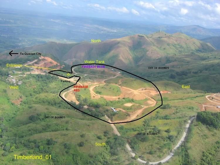
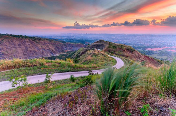
Landmarks
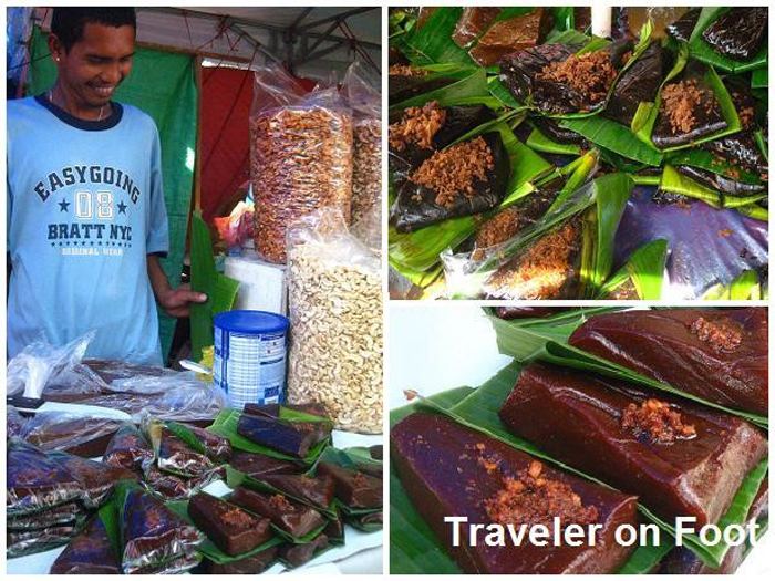
Festivals
These are some of the notable events in San Mateo: