
Country Area 172.65 km2 District 2nd District of Rizal Mayor Cecilio C. Hernandez | Region CALABARZON Founded 1909 | |
 | ||
University Pamantasan ng Montalban | ||
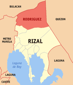
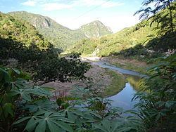
Map of Rodriguez, Rizal
Rodriguez is a first-class, urban municipality in the province of Rizal, Philippines. It is the northernmost town in the province and comes after San Mateo, Rizal, and Quezon City coming from Metro Manila. The town is located on the slopes of the Sierra Madre mountain range and features many resorts; it is the largest town in Rizal province with an area of 312.70 km². According to the 2015 census, it has a population of 369,222 people, making it the most populous municipality in the country.
Contents
- Map of Rodriguez Rizal
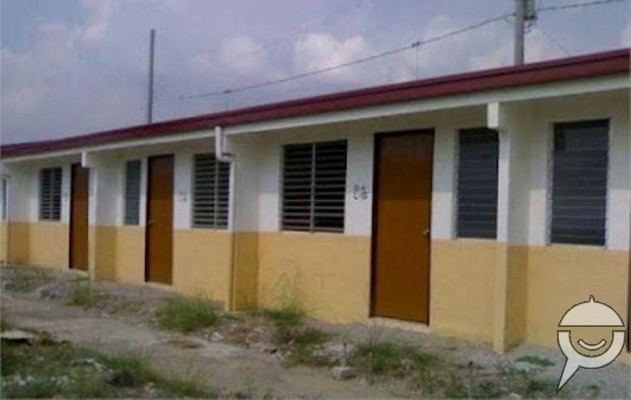
- Mmh townhomes rodriguez rizal montalban
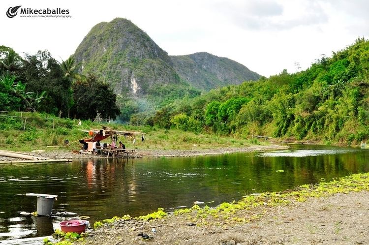
- Mt binacayan rodriguez rizal
- Geography
- Elevation and slope
- Barangays
- History
- Demographics
- Transportation
- Hospitals
- Education
- Elementary schools
- High schools
- Houses of charities
- References
It borders San Mateo, Rizal and Antipolo City, Rizal on the south, Norzagaray, Bulacan and San Jose Del Monte, Bulacan on the north, Quezon City on the west and General Nakar, Quezon on the east.
Montalban, a common name for the municipality up to the present, was its official name from its founding in 1909 until 1982 when the Batasang Pambansa officially renamed it Rodriguez in honor of Eulogio Rodriguez, Sr., a native of the municipality who served as Senate President.
Rodriguez is one of the richest municipalities in the Philippines, ranking eighth in 2007 with an annual income of ₱310 million.
The legend of Bernardo Carpio is said to have happened in the mountains of the town.
Mmh townhomes rodriguez rizal montalban
Mt binacayan rodriguez rizal
Geography
Rodriguez is a town of mountains. From its north to south, a series of sloping ridges, hills and mountains ranges adorn the town. In fact, around 27% or the town is occupied by mountains and slopes. The town's highest peak is Mt. Irid, towering 1,469 meters above mean and sea level.
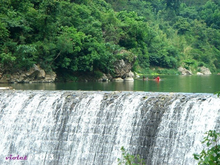
The province of Rizal spans for 1,175.8 square kilometers. Rodriguez makes up 26.6% on the entire province of Rizal, housing 11 barangays. The land mass of Rodriguez is big enough to be an ideal place for many purposes, such as agriculture, commerce such as the Avilon Zoo, and hiking and climbing spots of Wawa Gorge, relocation of communities (having a strategic position east of Rizal, and a lot of areas where low-cost housing projects can be put up), subdivision areas for either low-,mid-,high-cost housing, and also for special uses (such as the landfill).
Elevation and slope
The Municipality of Rodriguez is generally very rough in topography, with 83% of its total land area composed of upland areas, hills and mountain ranges. The remaining 17% lowlying terrain and rolling lands are found at the south-western portion of the municipality, along with the northern portions of the Municipality of San Mateo.
This gently rolling to rolling slopes comprises the Marikina River Valley, where water from higher elevations drain towards the Marikina River and its tributaries at the south-western portion of the municipality. Elevations at these western lowlands range from 10 to 30 meter above sea level. The western portion of the flatlands gently rises towards the west, which is part of Quezon City.
The mountainous regions of the Municipality of Rodriguez are found at the central and eastern areas, with sleepy sloping ridges and mountain ranges, traversing north to south. The terrain in these mountain ranges has slopes ranging from 30–50%. Very steep hills and mountains have slopes greater than 50%. Rolling to hilly areas 18–30% in slope can also be found. These high elevations are drained by several major rivers, namely the Tanay, Puray, and Rodriguez Rivers.
Barangays
Rodriguez is politically subdivided into 11 barangays (8 urban, 3 rural):
History
Based on Different accounts, The town of Rodriguez had been a part of San Mateo territory since the Spanish period.
San Mateo with its large size was dismembered on April 27, 1871 when Captain General Isquierdo issued a decree separating the barrios of Balite, Burgos, Marang and Calipahan from San Mateo and formed them into the new municipality of Montalban (Rodriguez). On February 29, 1908, During the American occupation, the American government, through the power of the American Governor General of the Philippines, proclaimed the Executive Order No. 20 separating San Mateo from Montalban, making the former an independent municipality.
From the Executive Summary of annual audit report 2012, the Municipality of Rodriguez (formerly Montalban) was founded on June 30, 1871 under the "Acta de Erreccion" or Deed of Foundation. Its creation on June 11, 1901 was incorporated in the newly created Province of Rizal by virtue of Philippine Commission Act No. 20 series of 1908) as amended by Executive Order no. 36 series of 1908.
Demographics
In the 2015 census, the population of Rodriguez, Rizal, was 369,222 people, with a density of 1,200 inhabitants per square kilometre or 3,100 inhabitants per square mile.
Transportation
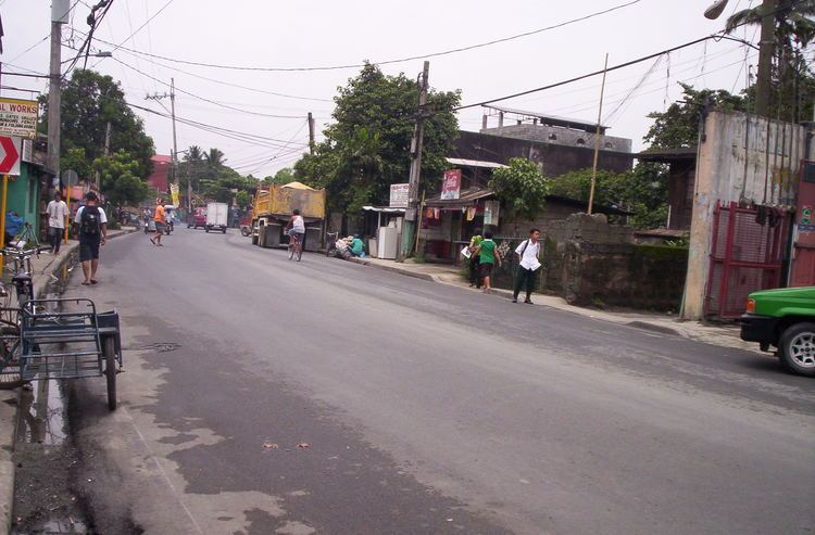
The main transportation used in the municipality were jeepneys, tricycles, SUVs, and buses. There are jeepneys that ply through the towns of San Mateo, Marikina and Cubao via Marcos Highway in Quezon City, some ply the route that leads to Philcoa in Quezon City via Batasan Road in San Mateo, others connect Rodriguez to Litex Road in Quezon City. The Marikina Auto Line Transport Corporation (MALTC) buses is the only one that regularly travels to farther places like Makati and Parañaque. SUV's ply the routes to Cubao in Quezon City and Sta. Lucia Grand Mall in Cainta. Formerly there was a single railway line of the Philippine National Railways that goes up to Baranggay Balitè. It has been long dismantled.
It is known that 'patok' jeepneys originated from this town wayback during the 80's. These jeepneys are known for their notoriety on the road, despite being dangerous they are popular among the passengers hence the name patók which means 'popular'. They still ply to this town up to this day, most plying the Montalban-Cubao route via Marcos Highway. These jeepneys have already spread throughout the Rizal province as well in Marikina City ever since.
Hospitals
Education
There are numerous elementary and high schools, both public and private, offering primary, secondary and tertiary education in the town of Rodriguez. There are also colleges and institutions that offer graduate and undergraduate programs in town.
Elementary schools
High schools
Senior High Schools:
Houses of charities
There are houses of charities located in the town.