
Elevation 2,860 m | ||
 | ||
Similar Mont Ténibre, Mont Pelat, Monte Argentera, Cime de la Malédie, Cime du Gélas | ||
Voy 004 col cime de la bonette f
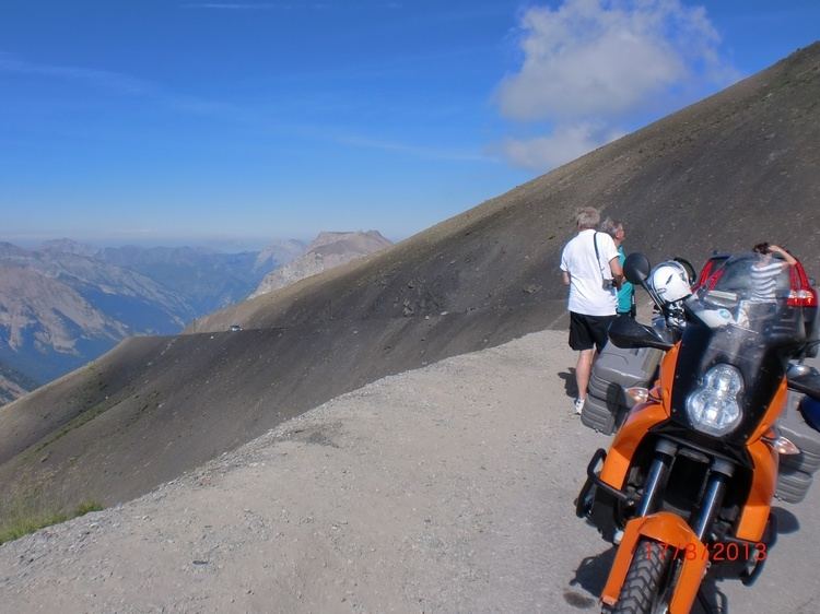
Cime de la Bonette (el. 2,860 metres or 9,383 feet) is a mountain in the French Alps, near the border with Italy. It is situated within the Mercantour National Park on the border of the departments of Alpes-Maritimes and Alpes-de-Haute-Provence, between the Ubaye Valley and the valley of the Tinée River.
Contents
Map of Cime de la Bonette, 04850 Jausiers, France
"Cime" is French for "summit".
The summit is surrounded by road from the Col de la Bonette, which reaches 2,802 metres (9,193 ft), and is the second highest paved through route in the Alps. It is also the highest point reached by the Tour de France.
References
Cime de la Bonette Wikipedia(Text) CC BY-SA