
River mouth Var River Length 70 km Basin area 705 km² | Discharge 16.7 m³/s | |
 | ||
Main source Maritime Alps2,700 m (8,900 ft) | ||
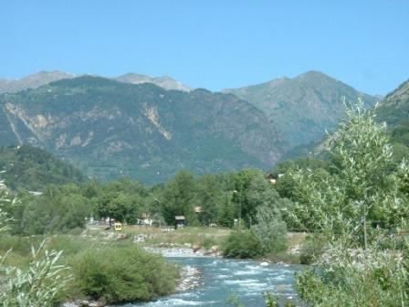
Saint etienne de tin e en t
The Tinée is a river that flows through the Alpes-Maritimes department of southeastern France. Its source is on the east side of the Col de la Bonette, in the Maritime Alps. It flows through Saint-Étienne-de-Tinée, Isola and Saint-Sauveur-sur-Tinée, and it flows into the Var near Utelle. The Guercha and the Vionène are its tributaries.
Contents
- Saint etienne de tin e en t
- Map of La TinC3A9e France
- Un petit tour au dessus de saint etienne de tin e
- References
Map of La Tin%C3%A9e, France
Un petit tour au dessus de saint etienne de tin e
References
Tinée Wikipedia(Text) CC BY-SA