
 | ||
Drone footage over santa rosa beach fl choctawhatchee bay
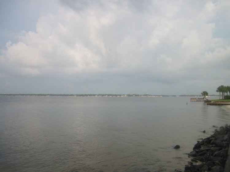
Choctawhatchee Bay is a bay in the Emerald Coast region of the Florida Panhandle. The bay, located within Okaloosa and Walton counties, has a surface area of 129 mi2 (334 km2). It is an inlet of the Gulf of Mexico, connected to it through East Pass (also known as Destin Pass). It also connects to Santa Rosa Sound in Fort Walton Beach, Florida to the west and to St. Andrews Bay in Bay County to the east, via the Gulf Intracoastal Waterway. East Pass is the only outlet of the bay flowing directly into the Gulf of Mexico. The Choctawhatchee River flows into it, as do several smaller rivers and streams. The Mid-Bay Bridge crosses the bay, connecting the city of Destin to Niceville, Florida.
Contents
- Drone footage over santa rosa beach fl choctawhatchee bay
- Map of Choctawhatchee Bay Florida USA
- Redfish midbay bridge choctawhatchee bay destin florida 2 9 2013
- HistoryEdit
- References
Map of Choctawhatchee Bay, Florida, USA
Redfish midbay bridge choctawhatchee bay destin florida 2 9 2013
HistoryEdit
The bay was charted by Spanish, French, and English expeditions, and appears on some charts as "St. Rose's Bay".
Several towns and cities are located on Choctawhatchee Bay: