
Vehicle registration MH- Population 4,718 (2001) | Time zone IST (UTC+5:30) Elevation 1,188 m Local time Sunday 5:16 AM | |
 | ||
Weather 22°C, Wind NE at 3 km/h, 43% Humidity | ||
Chikhaldara is a Hill Station and a municipal council in Amravati district in the indian state of Maharashtra
Contents
- Map of Chikhaldara Maharashtra 444807
- Chikhaldara explore the unexplored beauties of india
- History
- Demographics
- Water supply
- Local features of importance
- Chikhaldara Tourist Points
- Connectivity
- References
Map of Chikhaldara, Maharashtra 444807
Featured in the epic of the Mahabharata, this is the place where Bheema killed the villainous Keechaka in a herculean bout and then threw him into the valley. It thus came to be known as Keechakadara—Chikhaldara is its corruption.
But there's more to Chikhaldara. The sole hill resort in the Vidarbha region, it is situated at an altitude of 1118 m with highest vairat point 1188m and has the added dimension of being the only coffee-growing area in Maharashtra. Chikhaldara has an annual rainfall of 154cm. Temperature varies from 39C in summer to 5C in winter. Best months to visit are from October to June.
It abounds in wildlife—Tiger, panthers, sloth bears, sambar, wild boar, and even the rarely seen wild dogs. Close by is the famous Melghat Tiger Project which has 82 tigers.
The scenic beauty of Chikhaldara can be enjoyed from Hurricane Point, Prospect Point, and Devi Point. Other interesting excursions include Gavilgad and Narnala Fort, the Pandit Nehru Botanical Gardens, the Tribal Museum and the Semadoh Lake.
Chikhaldara explore the unexplored beauties of india
History
Chikaldara was discovered by Captain Robinson of the Hyderabad Regiment in 1823. The Englishmen found it particularly attractive because the lush green hue of the place reminded them of England. When the leaves fell in September/October, they were reminded of autumn in England. There was even a proposal to make it the seat of the Government of India.
Demographics
As of 2001 India census, Chikhaldara had a population of 4718. Males constitute 58% of the population and females 42%. Chikhaldara has an average literacy rate of 80%, higher than the national average of 59.5%; with male literacy of 86% and female literacy of 72%. 12% of the population is under 6 years of age. http://chikhaldara.org/images/phocagallery/Animals/thumbs/phoca_thumb_l_common%20kukri-terra%20nullius.jpg
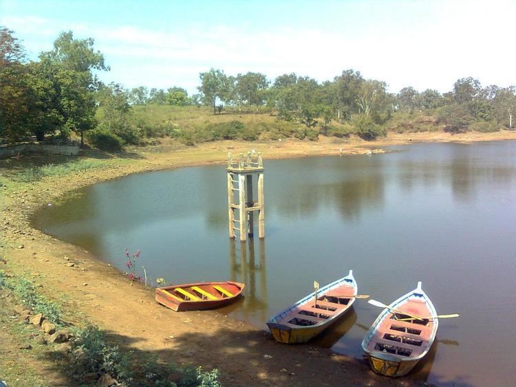
Water supply
Water is supplied from Sakkar lake.
Local features of importance
- Melghat Tiger Reserve, which includes the Gugamal National Park
- Gawilgad fort
- Bhim-kund: This is the place where Bhima washed his hands off the blood of Keechaka.
- Forest garden
- Wildlife museum
- Paratwada City
Chikhaldara Tourist Points
Connectivity
Chikhaldara is well connected to the cities of Paratwada, Amravati, Akola, Betul (M.P.),Khandwa (M.P.) by road. The nearest international airport is Nagpur: 229 km via Paratwada-Chandur Bazar-Katol route and 231 km via Paratwada-Amravati-Kondhali route. MSRTC plies buses from Nagpur to Chikhaldara via Amravati-Paratwada.