
Elevation 224 m | ||
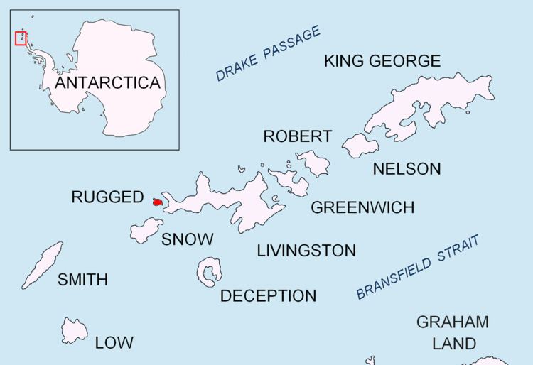 | ||
Cherven Peak (Bulgarian: връх Червен, ‘Vrah Cherven’ \'vr&h 'cher-ven) is a rocky peak rising to 224 m on the north coast of Rugged Island off the west coast of Byers Peninsula of Livingston Island in the South Shetland Islands, Antarctica. Situated 1.04 km west of Herring Point, 830 m north of San Stefano Peak, 3.9 km east-southeast of Cape Sheffield, and 700 m southeast of Ivan Vladislav Point formed by an offshoot of the peak.
Contents
Map of Cherven Peak, Antarctica
The peak is named after the medieval town of Cherven in northeastern Bulgaria.
Location
Cherven Peak is located at 62°37′26.6″S 61°13′30.4″W. Spanish mapping in 1993 and Bulgarian in 2009.
Maps
References
Cherven Peak Wikipedia(Text) CC BY-SA