
Time zone IST (UTC+5:30) Elevation 398 m Population 84,914 (2011) | Block Chandwara PIN 825409 Area 232 km² Area code 06543 | |
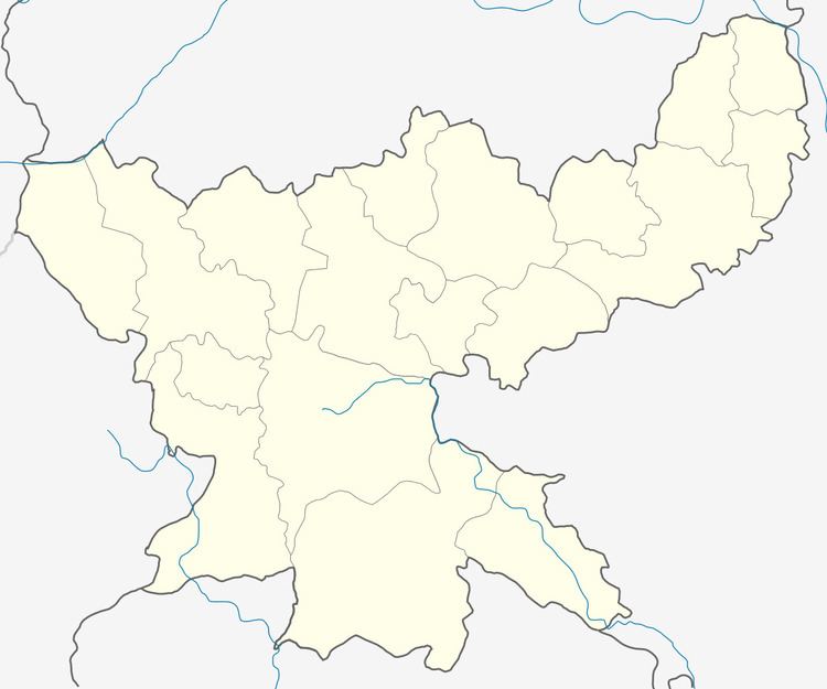 | ||
Chandwara is a community development block that forms an administrative division of Koderma district, Jharkhand state, India.
Contents
- Map of Chandwara Jharkhand
- Overview
- Rivers
- Location
- Area and administration
- Gram Panchayats
- Population
- Literacy
- Language
- Transportation
- References
Map of Chandwara, Jharkhand
Overview
Koderma district occupies the northern end of the Chota Nagpur Plateau. The average altitude is 397 m above sea level. The topography is hilly and the area mostly has laterite soil with patches of clay. Although the net area sown is around 13% of the total area, Monsoon dependent agriculture supports majority of the population. Forest area covers 43% of the total area. Koderma Reserve Forest occupies the northern part of the district. Density of population in the district was 282 persons per sq km. Koderma district was once famous for its mica production but low quality of mica ore and high cost of production led to closure of many units. Only two units still survive. Around 40-50% of the families are below poverty line. Based on the number of households in 2011 census and BPL revision survey of 2010-11, the percentage of BPL families in the rural areas is 64.22%.
Rivers
The Barakar River flows in the southern part of the district and supports the multi-purpose Tilaiya Dam. Poanchkhara, Keso, Akto, Gurio, Gukhana Nadi are the main tributaries of the Barakar in the district. The Sakri river is the main river in the northern part of the district. Ghggnna Naddi, Chhotanari Nadi are the tributaries of Sakri river.
Location
Chandwara is located at 24°23′42″N 85°29′4″E.
Chandwara CD Block is bounded by Rajauli CD Block, in Nawada district of Bihar, in the north, Koderma and Jainagar CD Blocks in the east, Barhi CD Block, in Hazaribagh district in the south and Chauparan CD Block, in Hazaribagh district, in the west.
It is located 16 km from Koderma, the district headquarters.
Area and administration
Chandwara CD Block has an area of 232.05 km2. The block has 88 villages.
Gram Panchayats
Gram Panchayats in Chandwara CD Block are: Aragaro, Badkidhamrai, Bendi, Bhondo, Birsodih, Chandwara East, Chandwara West, Kanko, Kanti, Khandi, Madangundi, Pathalgada, Pipradih, Tham and Urwan.
Population
As per the 2011 Census of India Chandwara CD Block had a total population of 84,914, all of which were rural. There were 43,961 (52%) males and 40,953 (48%) females. Population below 6 years was 15,994. Scheduled Castes numbered 16,763 (19.74%) and Scheduled Tribes numbered 563 (0.66%).
Literacy
As per the 2011 census the total number of literates in Chandwara CD Block was 43,936 (63.75% of the population over 6 years) out of which males numbered 27,432 (76.82% of the male population over 6 years) and females numbered 16,504 (49.69%) of the female population over 6 years). The gender disparity (the difference between female and male literacy rates) was 27.13%.
As per the 2011 census, literacy in Koderma district was 66.84%, up from 52.20% in 2001.Literacy in Jharkhand (for population over 7 years) was 66.41% in 2011. Literacy in India in 2011 was 74.04%.
Language
Hindi is the local language in the Chandwara area.
Transportation
The 79.7 km long first stage railway project from Koderma to Hazaribagh costing Rs. 936 crore was inaugurated by Prime Minister Narendra Modi on 20 February 2015. The railway line passes through this CD Block and there are stations at Pipradih and Urwan.