
Prominence 2,289 m | Elevation 2,832 m Listing Ultra-prominent peak | |
 | ||
Similar Cerro Duida, Wei‑Assipu‑tepui, Wadakapiapué‑tepui, Karaurín‑tepui, Uei‑tepui | ||
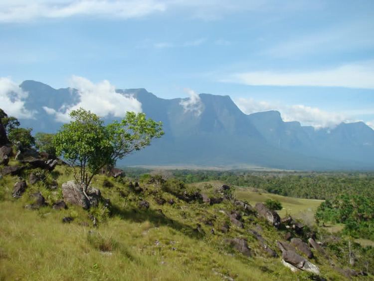
Cerro Marahuaca, also spelled Marahuaka, is a tepui in Amazonas state, Venezuela. It has an elevation of 2,832 metres (9,291 ft) above sea level and is the second-highest mountain of the entire Guayana Shield (after the Cerro de la Neblina complex). Cerro Marahuaca shares a common base with the much larger Cerro Duida and together they form the Duida–Marahuaca Massif. Both tepuis are located entirely within the bounds of Duida–Marahuaca National Park.
Contents
Map of Cerro Marahuaca, Amazonas, Venezuela
Cerro Marahuaca actually consists of two summit plateaus, the slightly larger northern one going by the Yekwana Amerindian name Fufha or Huha (03°46′52″N 65°29′31″W). The southern plateau (03°39′04″N 65°25′01″W) is known by two local names; its northwestern edge is called Fuif or Fhuif, whereas its southeastern portion is called Atahua'shiho or Atawa Shisho. A massive ridge known as Cerro Petaca rises to at least 2,700 metres (8,900 ft) just west of these two plateaus.
Cerro Marahuaca has a total summit area of 121 km2 (47 sq mi) and an estimated slope area of 325 km2 (125 sq mi).
Flora and fauna
Several frog species are only known from the summit of Cerro Marahuaca, including Pristimantis marahuaka, Metaphryniscus sosai, and Myersiohyla inparquesi.