
Area rank 2nd | Created 1994 Time zone UTC-04:30 Area 180,145 km² Team Tucanes de Amazonas | |
 | ||
Emblematic tree Caucho (Hevea benthamiana) Points of interest Tobogan de la Selva, Cerro Autana, Piedra del Cocuy, Parque nacional Cerro Ya, Parima Mountains | ||
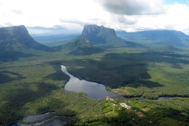
Amazonas State (Spanish: Estado Amazonas, [esˈtaðo amaˈsonas]) is one of the 23 states (estados) into which Venezuela is divided. It covers nearly a fifth of the area of Venezuela, but has less than 1% of Venezuela's total population.
Contents
Map of Amazonas, Venezuela
The state capital is Puerto Ayacucho. The capital until the early 1900s was San Fernando de Atabapo. Although named after the Amazon River, most of the state is drained by the Orinoco River. Amazonas State covers a total surface area of 176,899 km² and, in 2007, had a population of 142,200. Its density is of 0.8 inhabitants per km².
Amazonas has Venezuela's highest proportion of indigenous peoples of Venezuela; these make up only around 1.5% of the population nationwide, but the proportion is nearly 50% in Amazonas.
History
The territory covered by present-day Amazonas was previously part of the Guayana Province, a Province of the Spanish Empire (from 1585) and later of Venezuela (until 1864, when the Provinces of Venezuela were replaced by the States of Venezuela, following the Federal War). Amazonas was created as a state in 1994, having been a Federal Territory since 1864.
Race and ethnicity
According to the 2011 Census, the racial composition of the population was: