
1936–1950 → | 1941 16,813,584 | |
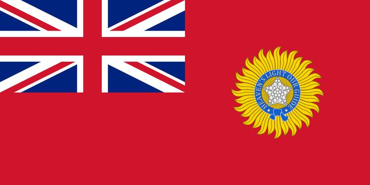 | ||
The Central Provinces and Berar was a province of British India and later the Dominion of India which existed from 1936 to 1950. It was formed by the merger of the Central Provinces with the province of Berar, which was territory leased by the British from the Princely State of Hyderabad. The Central Provinces comprised 19th-century British conquests from the Mughals and Marathas in central India, and covered much of present-day Chhattisgarh with portions of Madhya Pradesh, and Maharashtra states. Its capital was Nagpur.
Contents
The Central Provinces was formed in 1861 by the merger of the Saugor and Nerbudda Territories and Nagpur Province. Administration of the Berar region of the Hyderabad princely state was assigned to the Chief Commissioner of the Central Provinces in 1903, and for administrative purposes, Berar was merged with the Central Provinces to form the Central Provinces & Berar on October 24, 1936. After Indian Independence in 1947, a number of princely states were merged into the Central Provinces and Berar, which, when the Constitution of India went into effect in 1950, became the new Indian state of Madhya Bharat, merged with Madhya Pradesh in 1956, also meaning Central Province.
As its name suggests, the province was situated in the center of the Indian peninsula. It comprised large portions of the broad belt of hill and plateau which interposes between the plains of the Ganges and the Deccan plateau. The Central Provinces and Berar were bounded on the north and northeast by the Central India Agency, including the Bundelkhand and Bagelkhand agencies, and along the northern edge of Sagar District by the United Provinces of Agra & Oudh; on the west by the princely states of Bhopal, Indore and by the Kandesh District of Bombay Presidency; on the south by Hyderabad State, and on the east by Orissa (till 1937, a part of Bengal Presidency) and the Eastern States Agency.
British India
After the defeat of the rebellious Hindu Marathas in the Third Anglo-Maratha War, the territories north of the Satpura Range ceded in 1817 by the Maratha Peshwa (parts of Saugor and Damoh) and in 1818 by Appa Sahib, were in 1820, formed into the Saugor and Nerbudda Territories under an agent to the governor-general. In 1835 the Saugor and Nerbudda Territories were included in the newly formed North-Western Provinces (which later became the United Provinces of Agra & Oudh). In 1842, in consequence of an uprising, they were again placed under the jurisdiction of an agent to the governor-general. They were restored to the North-Western Province in 1853.
In 1818, the Maratha Bhonsle Maharajas of Nagpur submitted to British sovereignty. In 1853, on the death of Raghoji III without heirs, Nagpur was annexed by the British under the doctrine of lapse. Until the formation of the Central Provinces in 1861, Nagpur Province, which consisted of the Nagpur Division, Chhindwara and Chhattisgarh, was administered by a commissioner under the central colonial government.
The Saugor and Nerbudda Territories were joined with the Nagpur province to constitute the new Central Provinces in 1861. On 1 October 1903 Berar was placed under the administration of the commissioner of the Central Provinces. In October 1905 most of Sambalpur and the princely states of Bamra, Rairakhol, Sonpur, Patna and Kalahandi were transferred from the Central Provinces and Berar to Bengal, while the Hindi-speaking Chota Nagpur States of Chang Bhakar, British Korea, Surguja, Udaipur and Jashpur were transferred from Bengal to the Central Provinces & Berar.
In 1935 the Government of India Act was passed by the British Parliament. This act provided for the election of a provincial assembly, with an electorate made up of men with a minimum of financial resources, and excluding women and the poor. Supervisory powers over the enclaved and attached Princely States were reserved to the Governor and removed from the authority of the popular provincial governments. Elections were held in 1937, and the Indian National Congress took a majority of the seats but declined to form the government. A minority provisional government was formed under E. Raghavendra Rao.
The Congress reversed its decision and resolved to accept office in July 1937. Therefore, the Governor invited N. B. Khare to form the government in August 1937.
Khare resigned in 1938, and Ravi Shankar Shukla next became Premier. In 1939, along with Congress leaders from other provinces, Shukla resigned in protest of the Governor-General's declaration of war on Germany without consulting with Indian leaders, and the Central Provinces & Berar came under Governor's Rule. Another round of elections were held in 1946, yielding another Congress majority, and Shukla again became Premier.
After Indian independence
India became independent on 15 August and the Central Provinces & Berar became a province of the Dominion of India. The princely states, which were under the Central Provinces before 1936, were merged into the province, and organized into new districts. When the Constitution of India went into effect in 1950, the Central Provinces & Berar was reorganized with territorial changes as the state of Madhya Pradesh, which name also means Central Province.
After Indian Independence in 1947, the Central Provinces and Berar became part of India as Madhya Pradesh. On 1 November 1956, Madhya Bharat, together with the states of Vindhya Pradesh and Bhopal State, was merged into Madhya Pradesh. In 1956, under pressure from Marathi Irredentists, the Berar and Nagpur divisions were transferred to Bombay state. In 1960, the Bombay State was partitioned into Maharashtra & Gujarat. In 2000, the eastern portion of Madhya Pradesh was split off to become the new state of Chhattisgarh.
Administration
The 1941 Census of India counted 16,813,584 persons in the province, of which 2,093,767 were urban and 14,719,817 were rural.
Districts
The Central provinces and Berar was made up of 22 districts, grouped into five divisions :
Princely States
The Central provinces and Berar included also 15 princely states, whose native rulers enjoyed indirect rule under British protection.
Salute states, in order of precendence :
Non-salute states, alphabetically :