
Country United States FIPS code 18-48762 Elevation 265 m Local time Monday 10:42 PM | Organized 1831 GNIS feature ID 453620 Area 92.77 km² Population 1,649 (2010) | |
 | ||
Weather 8°C, Wind NE at 8 km/h, 100% Humidity | ||
Michigan Township is one of fourteen townships in Clinton County, Indiana. As of the 2010 census, its population was 1,649 and it contained 675 housing units. The township was named for the Michigan Road, an early thoroughfare through the area.
Contents
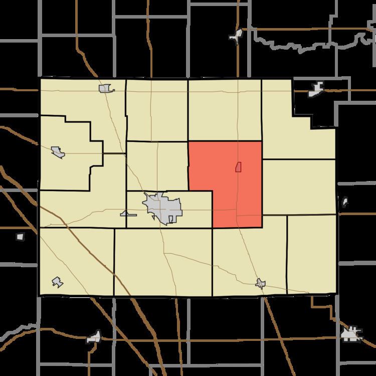
- Map of Michigan Township IN USA
- History
- Geography
- Cities and towns
- Unincorporated towns
- Adjacent townships
- Major highways
- Cemeteries
- References
Map of Michigan Township, IN, USA
History
Mahlon Shinn and Robert Edwards were the township's first white settlers, arriving in 1830 and followed the same year by many more. The township was organized in March 1831.
Geography
According to the 2010 census, the township has a total area of 35.82 square miles (92.8 km2), all land. Prior to settlement the land was heavily timbered with oak, poplar, walnut, sugar maple, beech, elm, ironwood, dogwood and pawpaw.
Cities and towns
Unincorporated towns
Adjacent townships
Major highways
Cemeteries
The township contains seven cemeteries: Brandon, Hopewell Cemeteries, Layman, Layton, Old Whiteman, Paris and Whiteman.