
Country United States Time zone CST (UTC-6) Elevation 426 m Population 7,478 (2000) | GNIS feature ID 0467588 Local time Tuesday 9:13 AM | |
 | ||
ZIP codes 51331, 51351, 51355, 51360 Weather 2°C, Wind W at 35 km/h, 58% Humidity Points of interest | ||
Center Grove Township is one of twelve townships in Dickinson County, Iowa, USA. As of the 2000 census, its population was 7,478.
Contents
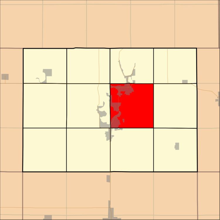
- Map of Center Grove IA USA
- History
- Geography
- Cities towns villages
- Adjacent townships
- Cemeteries
- Major highways
- Airports and landing strips
- Lakes
- Landmarks
- School districts
- Political districts
- References
Map of Center Grove, IA, USA
History
Center Grove Township was formed in 1866.
Geography
According to the United States Census Bureau, Center Grove Township covers an area of 36.15 square miles (93.63 square kilometers); of this, 31.38 square miles (81.28 square kilometers, 86.81 percent) is land and 4.77 square miles (12.35 square kilometers, 13.19 percent) is water.
Cities, towns, villages
Adjacent townships
Cemeteries
The township contains these three cemeteries: Lake View, Lakeland Memory Gardens and Rose Hill.
Major highways
Airports and landing strips
Lakes
Landmarks
School districts
Political districts
References
Center Grove Township, Dickinson County, Iowa Wikipedia(Text) CC BY-SA