
Country United States ZIP codes 51351, 51364 Elevation 444 m Local time Wednesday 6:58 AM | Time zone CST (UTC-6) GNIS feature ID 0468380 Area 91.97 km² Population 869 (2000) | |
 | ||
Weather -5°C, Wind E at 14 km/h, 73% Humidity | ||
Milford Township is one of twelve townships in Dickinson County, Iowa, USA. As of the 2000 census, its population was 869.
Contents
- Map of Milford IA USA
- Geography
- Cities towns villages
- Unincorporated towns
- Adjacent townships
- Cemeteries
- Major highways
- Lakes
- School districts
- Political districts
- References
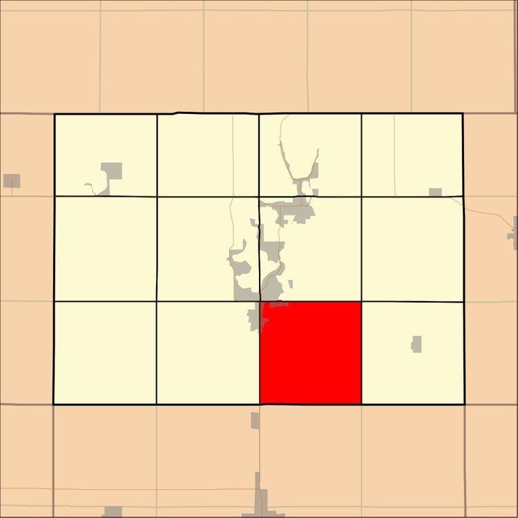
Map of Milford, IA, USA
Geography
According to the United States Census Bureau, Milford Township covers an area of 35.51 square miles (91.98 square kilometers); of this, 35.46 square miles (91.85 square kilometers, 99.86 percent) is land and 0.05 square miles (0.12 square kilometers, 0.13 percent) is water.
Cities, towns, villages
Unincorporated towns
Adjacent townships
Cemeteries
The township contains Milford Cemetery.
Major highways
Lakes
School districts
Political districts
References
Milford Township, Dickinson County, Iowa Wikipedia(Text) CC BY-SA