
GNIS feature ID 0468461 Area 93.54 km² Zip code 51351 | Time zone CST (UTC-6) Elevation 416 m Local time Thursday 8:01 AM Population 2,087 (2000) | |
 | ||
Weather 2°C, Wind SE at 31 km/h, 58% Humidity | ||
Okoboji Township is one of twelve townships in Dickinson County, Iowa, USA. As of the 2000 census, its population was 2,087.
Contents
- Map of Okoboji IA 51351 USA
- History
- Geography
- Cities towns villages
- Adjacent townships
- Cemeteries
- Major highways
- Airports and landing strips
- Rivers
- Landmarks
- School districts
- Political districts
- References
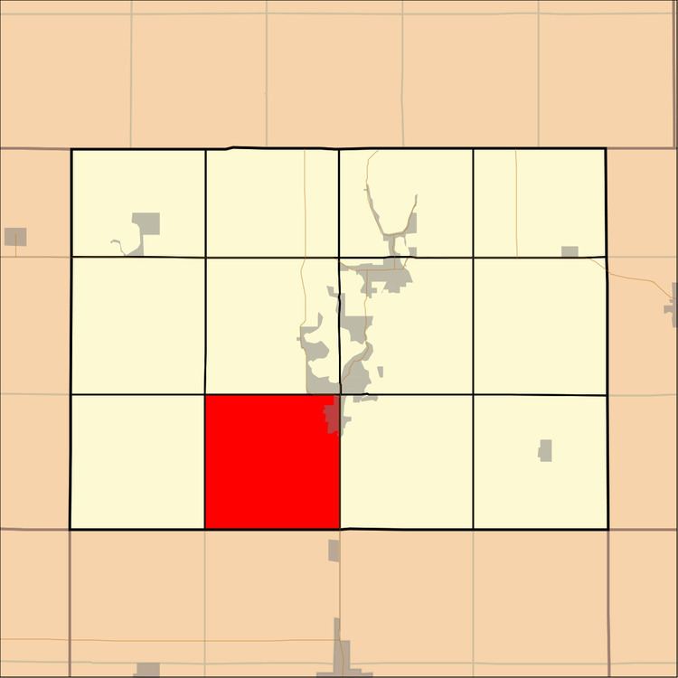
Map of Okoboji, IA 51351, USA
History
Okoboji Township was formed in 1859.
Geography
According to the United States Census Bureau, Okoboji Township covers an area of 36.12 square miles (93.54 square kilometers); of this, 36.09 square miles (93.48 square kilometers, 99.94 percent) is land and 0.03 square miles (0.07 square kilometers, 0.07 percent) is water.
Cities, towns, villages
Adjacent townships
Cemeteries
The township contains these two cemeteries: Little Sioux Lutheran and Saint Joseph.
Major highways
Airports and landing strips
Rivers
Landmarks
School districts
Political districts
References
Okoboji Township, Dickinson County, Iowa Wikipedia(Text) CC BY-SA