
Length 83 mi (134 km) Season All year | ||
 | ||
Trailheads | ||
Caravan parks centenary way camping caravan park
The Centenary Way is a route devised to celebrate the 100th anniversary of Yorkshire County Council. It was opened by Chris Brasher in 1989 to mark the Centenary of the governance by County Councils.
Contents
- Caravan parks centenary way camping caravan park
- Warwickshire centenary way day 6
- Places along the Centenary Way
- References
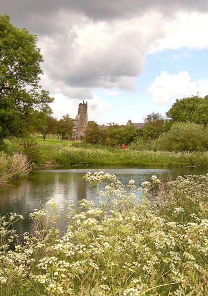
The route runs across the Howardian Hills and Yorkshire Wolds via Castle Howard and Wharram Percy, linking York and the Foss Walk with the Yorkshire Wolds Way and Cleveland Way National Trails.
Meeting the Derwent and Foss, the walk combines riverside walks in deep valleys with forest tracks.Part of the route overlaps with the Wolds Way which also ends at Filey along with the Cleveland Way.
Start: SE603522 - York, North Yorkshire
Finish: TA126817 - Filey Brigg, North Yorkshire
Waymark: Letters CW on standard waymarks
Warwickshire centenary way day 6
Places along the Centenary Way
The route of the Centenary Way passes close to or through the following places:
Places in italics are slightly off the main route.