
OS grid reference SE840611 Sovereign state United Kingdom Local time Thursday 6:50 PM District Ryedale | Post town MALTON Dialling code 01377 | |
 | ||
Population 293 (Including Wharram-le-Street. 2011 census) Weather 15°C, Wind S at 19 km/h, 75% Humidity UK parliament constituency Thirsk and Malton (formerly Ryedale) | ||
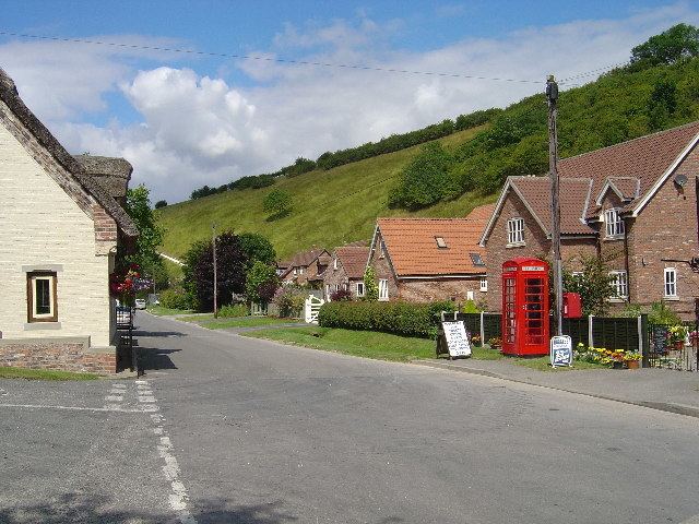
Thixendale is a civil parish in the Ryedale district of North Yorkshire, England. Historically part of the East Riding of Yorkshire, it is located in the Yorkshire Wolds about 20 miles east of York.
Map of Thixendale, UK
The population of the village and surrounding farms is 130, rising to 293 at the 2011 census.
The only pub, the Cross Keys, is a regular winner of local CAMRA awards.
The Yorkshire Wolds Way National Trail, a long distance footpath passes to the east end of the village.
The church of St Mary, Thixendale is one of a group of village buildings constructed to designs by George Edmund Street in 1868–70. It was designated in 1966 by English Heritage as a Grade II* listed building. It is on the Sykes Churches Trail devised by the East Yorkshire Historic Churches Group.
For many years until the late 1990s, television signals were blocked by the surrounding hills until a small transmitter was built, providing the village with terrestrial television for the first time.