
Population 830 Civil parish Sherburn Sovereign state United Kingdom | OS grid reference SE958770 Local time Saturday 9:01 AM | |
 | ||
Weather 9°C, Wind SE at 10 km/h, 88% Humidity UK parliament constituency Thirsk and Malton (formerly Ryedale) | ||
Sherburn is a village and civil parish in the Ryedale district of North Yorkshire, England.
Contents
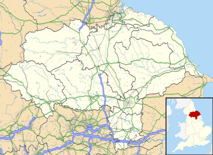
Map of Sherburn, UK
According to the 2001 UK census, Sherburn parish had a population of 786, increasing to 830 at the 2011 Census. The parish council is Sherburn Parish Council.
St. Hilda's Church is a Grade I listed building and forms part of the Sykes Churches Trail.
The Yorkshire Wolds Way National Trail and the Centenary Way long-distance footpath runs just south of the village.
Sherburn was served by Weaverthorpe railway station on the York-Scarborough line between 1845 and 1930.
Governance
An electoral ward in the same name exists. This ward stretches east to Staxton and has a ward population taken at the 2011 Census of 1,980.
References
Sherburn, North Yorkshire Wikipedia(Text) CC BY-SA