
Basin size 8,928 km (3,447 sq mi) Basin area 8,928 km² | Length 343 km Source elevation 600 m | |
 | ||
Main source Sierra Maestra600 m (1,969 ft) Similar Sierra Maestra, Pico Turquino, Guaniguanico, Turquino National Park, Baconao | ||
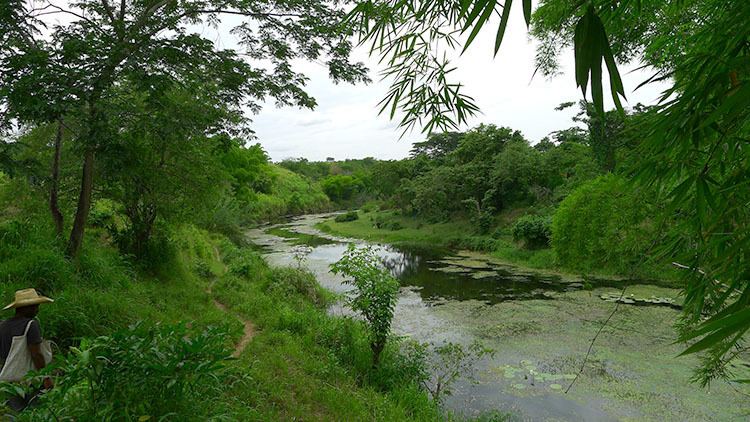
The Cauto River or Río Cauto, located in southeast Cuba, is the longest river of Cuba.
Contents
Map of Cauto, Cuba
Overview
It flows on a total length of 370 km (230 mi) from the Sierra Maestra to the west and north-west, and enters the Caribbean Sea north of Manzanillo. However, it provides only 110 km (70 mi) of transport waterway. Its water is not drinkable.
It flows through the provinces of Santiago de Cuba, Holguin, and Granma, and the communities of Palma Soriano, Cauto Cristo and Rio Cauto are located along the river. It is one of the two navigable rivers in Cuba. The other, Río Sagua la Grande, is the 2nd longest river in Cuba and is also not drinkable like the Río Cauto.
References
Cauto River Wikipedia(Text) CC BY-SA