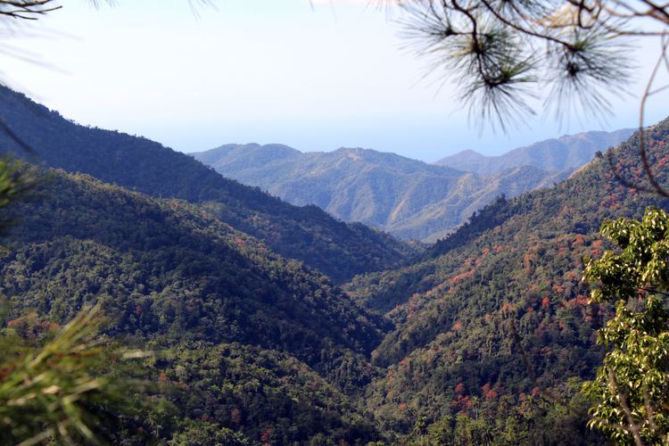
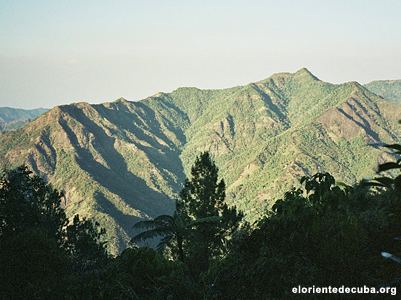
Length 240 km (150 mi) Mountains Pico Turquino, El Yunque | Elevation 1,974 m (6,476 ft) Width 30 km (19 mi) Highest point Pico Turquino | |
 | ||
Similar Granma, Pico Turquino, Escambray Mountains, Baconao, Turquino National Park | ||
The sierra maestra mountains where the cuban revolution began
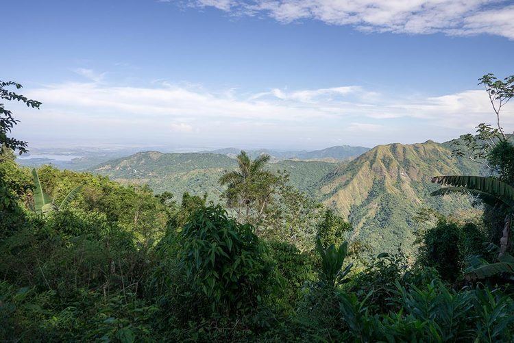
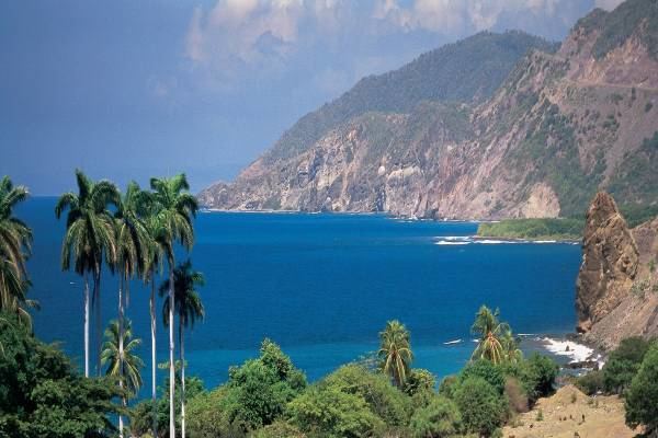
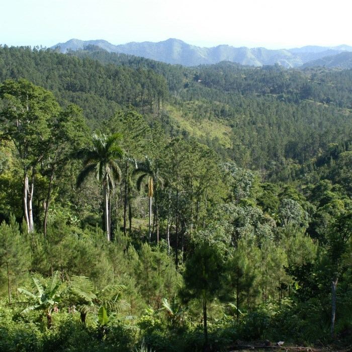
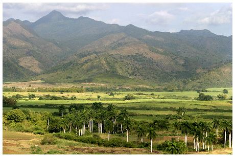
Sierra Maestra is a mountain range that runs westward across the south of the old Oriente Province in southeast Cuba, rising abruptly from the coast. The Sierra Maestra itself is located mainly in Santiago de Cuba Province, a small part in Granma Province. Some view it as a series of connecting ranges (Vela, Santa Catalina, Quemado Grande, Daña Mariana), which joins with others extending to the west. The Sierra Maestra is the highest area of Cuba. It is rich in minerals, especially copper, manganese, chromium, and iron. At 1,974 m (6,476 ft), Pico Turquino is the range's highest point.
Contents
History
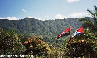
The Sierra Maestra has a long history of guerrilla warfare, starting with the resistance of the Taínos under Guamá (died 1532), the Cimarrón Neo-Taíno nations escaped slave cultures, the Ten Years' War (1868-1878) and the Cuban War of Independence (1895-1898), and various minor conflicts such as the Race War of 1912, and the uprisings of Antonio Guiteras (died 1935) against Gerardo Machado (President of Cuba from 1925 to 1933) and Fulgencio Batista (President 1940-1944 and 1952-1959). After Fidel Castro returned to Cuba in 1956 from exile in Mexico, he and the few other survivors from the failed 1953 attack on Moncada Barracks hid out in Sierra Maestra. There they succeeded in expanding their 26th of July Movement, starting a revolution throughout the region. They built up guerrilla columns, and in collaboration with other groups in the central provinces, Escopeteros on the foot-hills and plains, and the urban resistance, eventually overthrew Fulgencio Batista on 1 January 1959.
Ornithology
The ivory-billed woodpecker, now possibly extinct, was last seen (according to an unconfirmed report) in the Sierra Maestra in 1998.
