Country Area 498 km2 | Founded January 6, 1840 | |
Manzanillo is a municipality and city in the Granma Province of Cuba. By population, it is the 14th Cuban city and the most populated one not being a provincial seat.
Contents
- Map of Manzanillo Cuba
- Demographics
- Personalities
- Punta piedra room marea del portillo manzanillocuba2012 mpg
- Geography
- History
- Economy
- Culture
- References
Map of Manzanillo, Cuba
Demographics
In 2004, the municipality of Manzanillo had a population of 130,789. With a total area of 498 km2 (192 sq mi), it has a population density of 262.6/km2 (680/sq mi).
Personalities
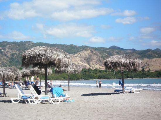
Punta piedra room marea del portillo manzanillocuba2012 mpg
Geography

It is a port city in the Granma Province in eastern Cuba on the Gulf of Guacanayabo, near the delta of the Cauto River. Its access is limited by the coral reefs of Cayo Perla.
The municipality is divided into the barrios of Primero, Segundo, Tercero, Cuarto, Quinto y Sexto (part of the city of Manzanillo), as well as the rural communities of Blanquizal, Calicito, Canabacoa, Cano, Ceiba Caridad, Congo, Jibacoa, Palmas Altas, Purial, Remate, Tranquilidad and Zarzal.
History

Manzanillo was founded in 1784. It was the site of four battles during the Spanish American War.
Economy
The agriculture is based on raising coffee, sugar, rice, fruit and tobacco crops, as well as honey and cattle.

