
Country United States GNIS feature ID 0467536 Area 92.67 km² Population 1,079 (2000) | Time zone CST (UTC-6) Elevation 282 m Local time Sunday 6:35 PM | |
 | ||
ZIP codes 52033, 52046, 52078, 52237 Weather 15°C, Wind S at 18 km/h, 64% Humidity | ||
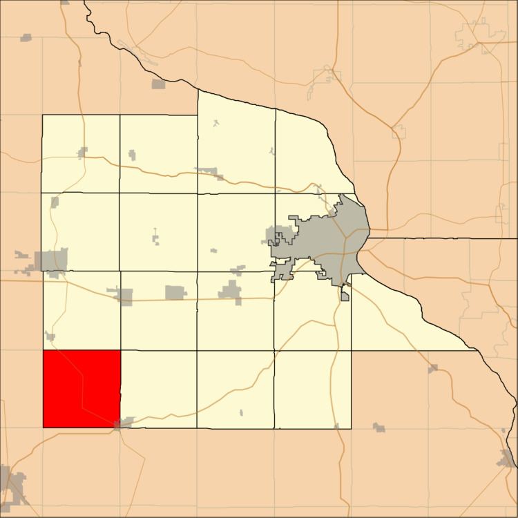
Cascade Township is one of seventeen townships in Dubuque County, Iowa, USA. As of the 2000 census, its population was 1,079.
Contents
- Map of Cascade IA USA
- History
- Geography
- Cities towns villages
- Adjacent townships
- Cemeteries
- Major highways
- School districts
- Political districts
- References
Map of Cascade, IA, USA
History
The name of Cascade Township is derived from the cascade, or water power, with which early settlers powered their mills.
Geography
According to the United States Census Bureau, Cascade Township covers an area of 35.78 square miles (92.68 square kilometers).
Cities, towns, villages
Adjacent townships
Cemeteries
The township contains these five cemeteries: Cascade Protestant, Johns Creek, Saint Martins Catholic, Saint Marys Catholic and Zion Reform.
Major highways
School districts
Political districts
References
Cascade Township, Dubuque County, Iowa Wikipedia(Text) CC BY-SA