
Country United States ZIP codes 52040, 52046, 52078 Elevation 305 m Local time Thursday 5:22 AM | Time zone CST (UTC-6) GNIS feature ID 0467717 Area 94.78 km² Population 1,204 (2000) | |
 | ||
Weather -1°C, Wind N at 10 km/h, 64% Humidity | ||
Dodge Township is one of seventeen townships in Dubuque County, Iowa, USA. As of the 2000 census, its population was 1,204.
Contents
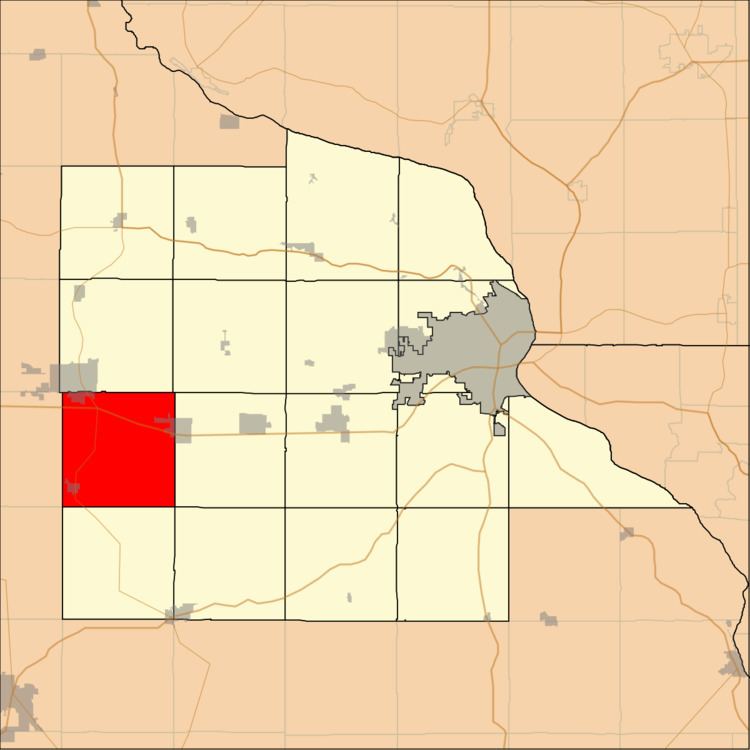
- Map of Dodge IA USA
- Geography
- Cities towns villages
- Adjacent townships
- Cemeteries
- Major highways
- School districts
- Political districts
- References
Map of Dodge, IA, USA
Geography
According to the United States Census Bureau, Dodge Township covers an area of 36.6 square miles (94.78 square kilometers); of this, 36.57 square miles (94.7 square kilometers, 99.92 percent) is land and 0.03 square miles (0.08 square kilometers, 0.08 percent) is water.
Cities, towns, villages
Adjacent townships
Cemeteries
The township contains these three cemeteries: Fairview, Saint Pauls and Worthington Baptist (historical).
Major highways
School districts
Political districts
References
Dodge Township, Dubuque County, Iowa Wikipedia(Text) CC BY-SA