
Elevation 283 m Local time Monday 7:06 PM | GNIS feature ID 0468728 Area 108.3 km² Population 1,228 (2000) | |
 | ||
Weather 10°C, Wind N at 5 km/h, 82% Humidity | ||
South Fork Township is a township in Delaware County, Iowa, USA. As of the 2000 census, its population was 1,228.
Contents
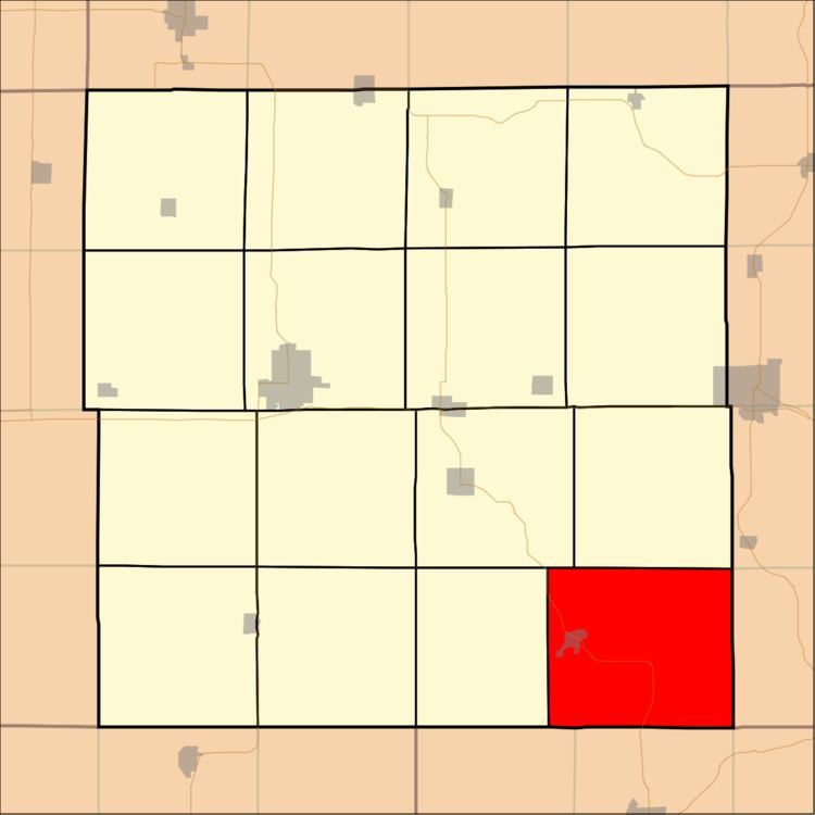
- Map of South Fork IA USA
- Geography
- Cities and towns
- Unincorporated towns
- Adjacent townships
- Cemeteries
- References
Map of South Fork, IA, USA
Geography
South Fork Township covers an area of 41.82 square miles (108.32 square kilometers). The streams of Bell Creek and Sand Creek run through this township.
Cities and towns
Unincorporated towns
(This list is based on USGS data and may include former settlements.)
Adjacent townships
Cemeteries
The township contains five cemeteries: Hopkinton, Livingston, Mount Pleasant, Sand Springs and Willard.
References
South Fork Township, Delaware County, Iowa Wikipedia(Text) CC BY-SA