
Founded 1842 Population 29,883 (2013) Unemployment rate 5.7% (Apr 2015) | Area 1,238 km² County seat Hillsville Cities Hillsville | |
 | ||
Website www.carrollcountyva.org Rivers New River, Reed Island Creek, Little Reed Island Creek Points of interest | ||
Carroll County is a United States county located in the southwestern part of the Commonwealth of Virginia. Roughly one fifth of the county lies in the Virginia Piedmont region, while the rest is part of the Appalachian Mountains. The Carroll county seat and largest town is Hillsville.
Contents
- Map of Carroll County VA USA
- History
- Geography
- Adjacent counties Independent city
- National protected areas
- Major highways
- Demographics
- Board of Supervisors
- Constitutional Officers
- Public High Schools
- Town
- Census designated places
- Other unincorporated communities
- Notable residents
- References
Map of Carroll County, VA, USA
The county was established in 1842 from part of Grayson County, and was officially named in honor of Charles Carroll, a signer of the Declaration of Independence. The borders of Carroll County were later expanded by including land from Patrick County.
The total size of the county is 478 square miles (1,238 km2), and, as of the 2010 census, the population was 30,042. Carroll, along with other Appalachian counties, is among the poorest parts of Virginia.
History
The first European settlers arrived in the region in the mid 18th century. These were primarily Scotch-Irish pioneers, who were used to high mountain altitudes. However, early settlement was slow, mostly due to the poor agricultural soil of the area. As a result, lead mining was one of the first economic activities in the region.
As the area's population density increased, Carroll County was created in 1842 from part of Grayson County. The new county was officially named for Charles Carroll, a signer of the Declaration of Independence, from Maryland. However, other accounts assert that John Carroll, a Virginia state legislator, had named the county in his own honor, but was blocked by a political rival who had it officially named for Charles Carroll instead.
Parts of Patrick County were added later to increase the size of Carroll County. The first piece was taken in 1845, and another part, which would later become the Fancy Gap District, was added in 1854.
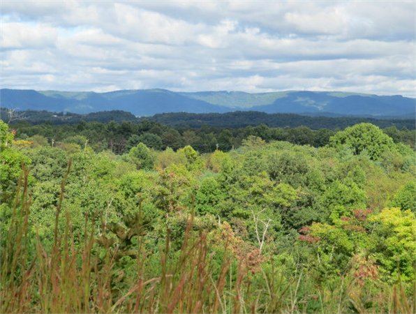
Geography
It is the only county in Virginia with Piedmont topography of roughly one fifth in the southeast part of the county and mountain topography of roughly four fifths elsewhere of the county. The Blue Ridge escarpment usually defines the county lines in both North Carolina and Virginia. The CDP community of Cana is in the Virginia Piedmont while the rest of the county is in the Appalachian Mountains.
According to the U.S. Census Bureau, the county has a total area of 478 square miles (1,240 km2), of which 475 square miles (1,230 km2) is land and 3 square miles (7.8 km2) (0.6%) is water.
Adjacent counties / Independent city
National protected areas
Major highways
Demographics
As of the census of 2000, there were 29,245 people, 12,186 households, and 8,786 families residing in the county. The population density was 61 people per square mile (24/km²). There were 14,680 housing units at an average density of 31 per square mile (12/km²). The racial makeup of the county was 97.97% White, 0.44% Black or African American, 0.14% Native American, 0.10% Asian, 0.82% from other races, and 0.53% from two or more races. 1.64% of the population were Hispanic or Latino of any race.
There were 12,186 households out of which 27.80% had children under the age of 18 living with them, 59.70% were married couples living together, 8.60% had a female householder with no husband present, and 27.90% were non-families. 25.40% of all households were made up of individuals and 12.20% had someone living alone who was 65 years of age or older. The average household size was 2.36 and the average family size was 2.80.
In the county, the population was spread out with 21.10% under the age of 18, 7.20% from 18 to 24, 28.00% from 25 to 44, 26.70% from 45 to 64, and 17.00% who were 65 years of age or older. The median age was 41 years. For every 100 females there were 97.20 males. For every 100 females age 18 and over, there were 94.10 males.
The median income for a household in the county was $30,597, and the median income for a family was $36,755. Males had a median income of $25,907 versus $19,697 for females. The per capita income for the county was $16,475. About 8.70% of families and 12.50% of the population were below the poverty line, including 15.70% of those under age 18 and 14.10% of those age 65 or over.
Board of Supervisors
Fancy Gap District: Phil D. McCraw (R)
Laurel Fork District: Joshua A. Hendrick (R)
Pine Creek District: R.J. "Bob" Martin, Jr. (Chairman) (R)
Pipers Gap District: Thomas W. Littrell (R)
Sulphur Springs District: Rex Hill (R)
At Large: Robbie McCraw (Vice Chairman) (R)
Constitutional Officers
Clerk of the Circuit Court: Gerald Ray Goad (D)
Commissioner of the Revenue: Fran McPherson (R)
Commonwealth's Attorney: Nathan H. Lyons (R)
Sheriff: John B. Gardner (R)
Treasurer: Bonita M. Williams (R)
Carroll County is represented by Republicans Ralph K. Smith and William M. "Bill" Stanley, Jr. in the Virginia Senate, Republican Anne B. Crockett-Stark in the Virginia House of Delegates, and Republican H. Morgan Griffith in the U.S. House of Representatives.
Public High Schools
Carroll County High School, in Hillsville, serves the county. Home of the Cavaliers, CCHS is a 9-12 comprehensive high school. The school was created by the consolidation of Woodlawn High School (Woodlawn, Virginia) and Hillsville High School (Hillsville, Virginia).