- elevation 4,475 ft (1,364.0 m) - elevation 5,729 ft (1,746.2 m) Nearest city Abingdon | - location southwest of Troutdale Area 626.5 km² Established May 31, 1966 | |
 | ||
Management United States Forest Service | ||
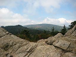
The appalachian trail mount rogers national recreation area
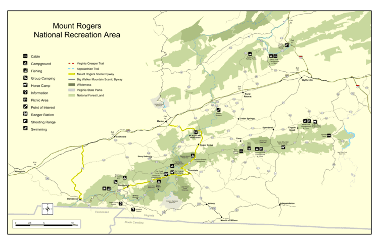
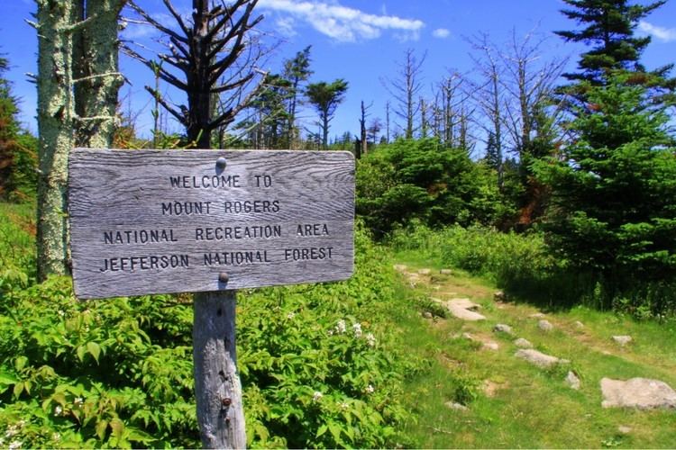
Mount Rogers National Recreation Area is a United States National Recreation Area (NRA) located in southwestern Virginia near the border with Tennessee and North Carolina. The centerpiece of the recreation area is Mount Rogers, the highest point in the state of Virginia with a summit elevation of 5,729 feet (1746 m). The recreation area is under the jurisdiction of the George Washington and Jefferson National Forests. The recreation area was established by an act of the United States Congress on May 31, 1966.
Contents
- The appalachian trail mount rogers national recreation area
- The bad hike mount rogers national recreation area
- HikingEdit
- WildernessEdit
- Other activitiesEdit
- References
Grayson Highlands State Park adjoins the recreation area on the south, near Mount Rogers, and the park provides the most well known access to the peak and the NRA generally.
The bad hike mount rogers national recreation area
HikingEdit
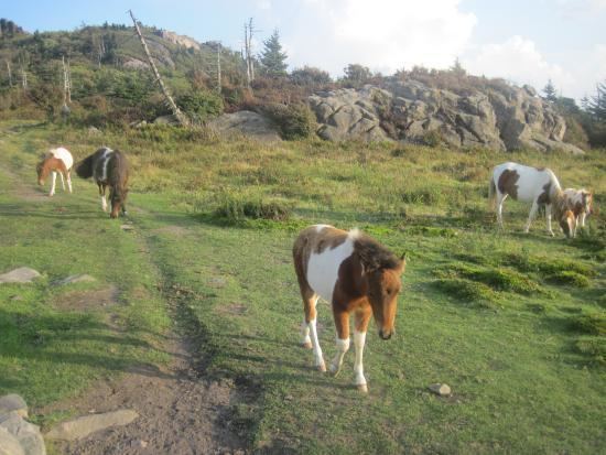
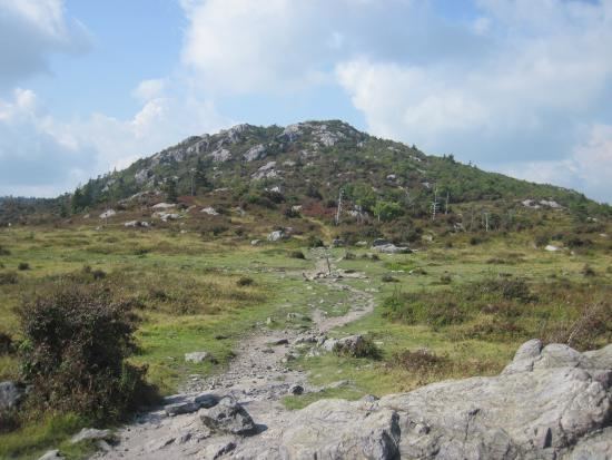
There are nearly 500 miles (800 kilometers) of hiking trails within Mount Rogers NRA making it one of the premier hiking hotspots in the Appalachian Mountains. Some of the trails in Mount Rogers NRA include:
WildernessEdit
There are three federally designated wilderness areas in Mount Rogers NRA:
Together, these three wilderness areas comprise about 14,000 acres of forest.
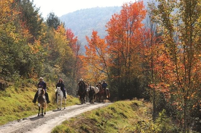
Other activitiesEdit